
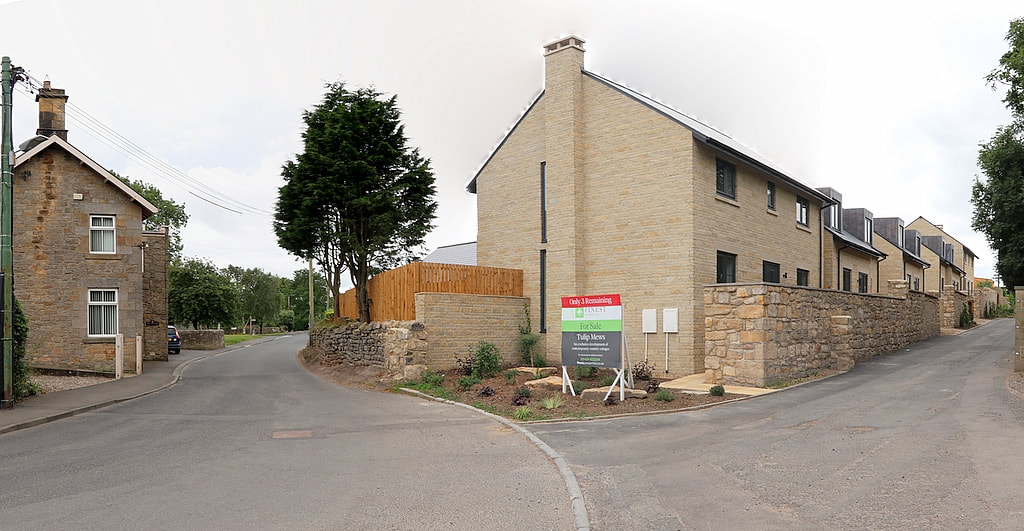
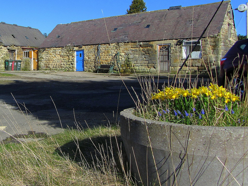
Tulip Mews from Towne Gate. Photo A Curtis (2020).
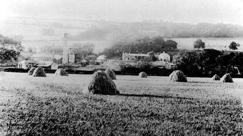
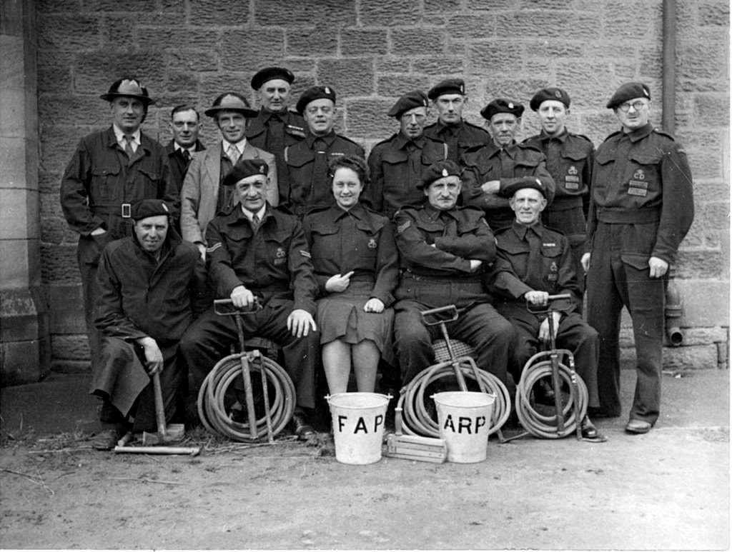
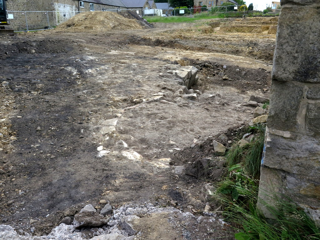
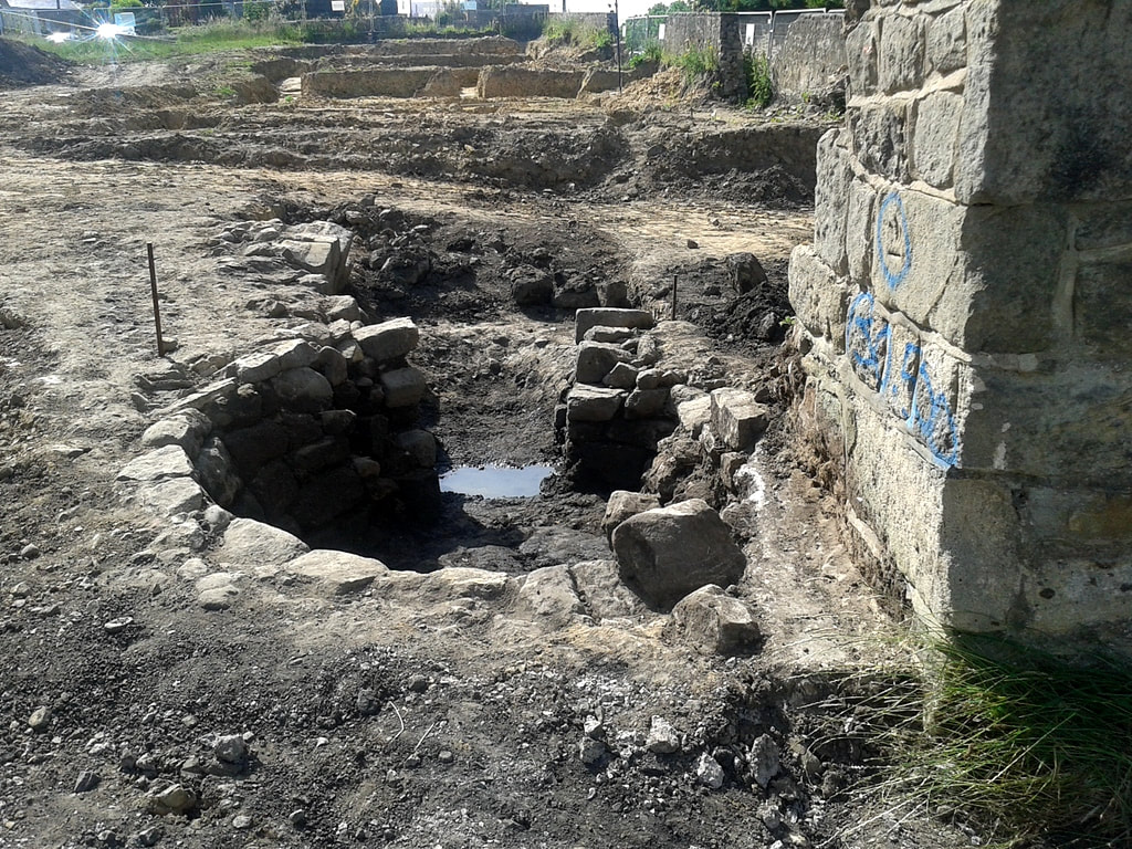
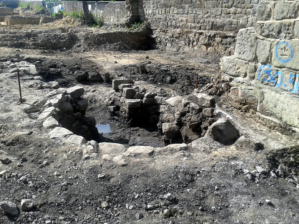
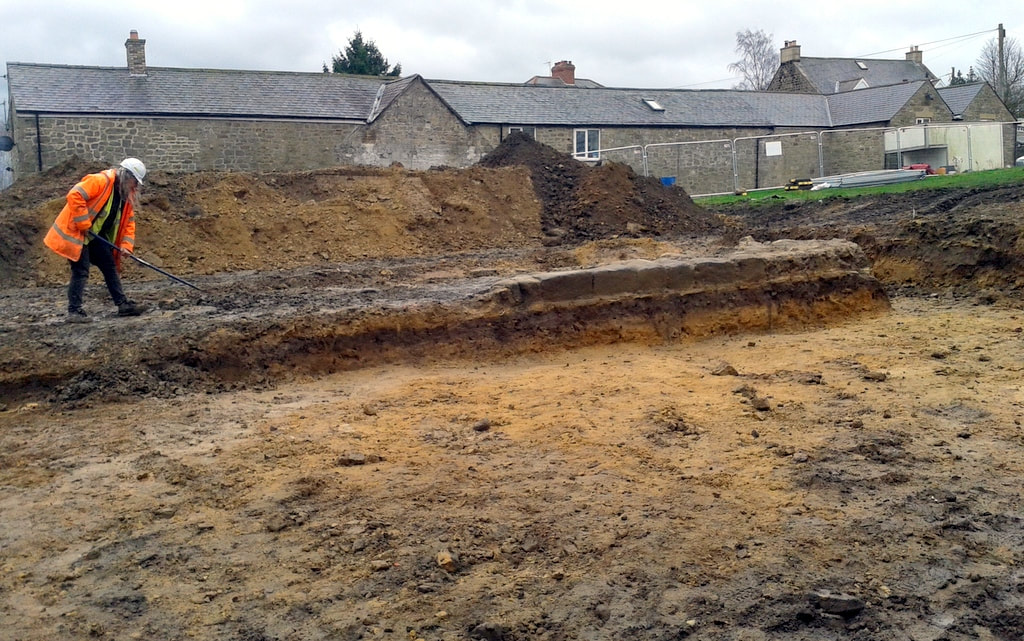
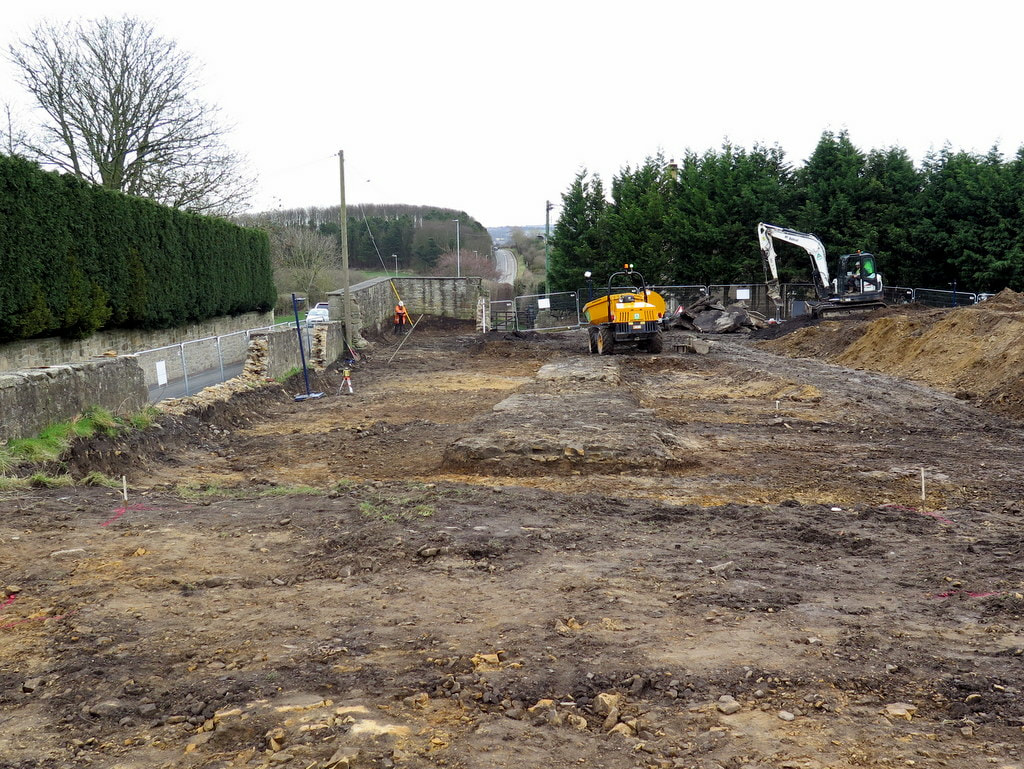
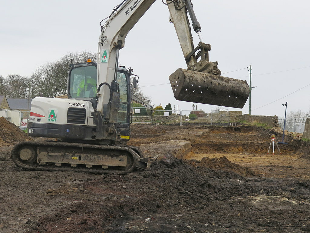
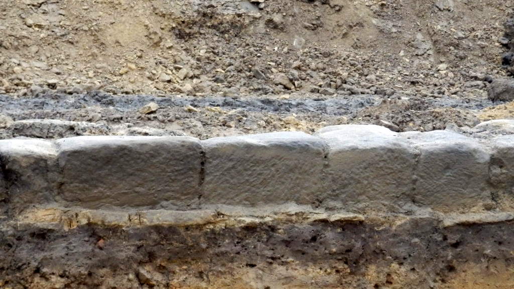
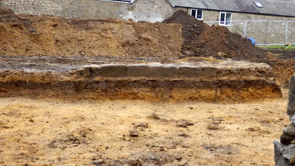
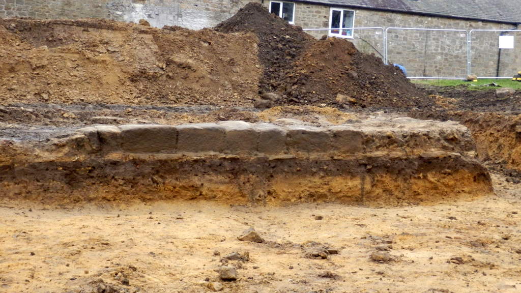
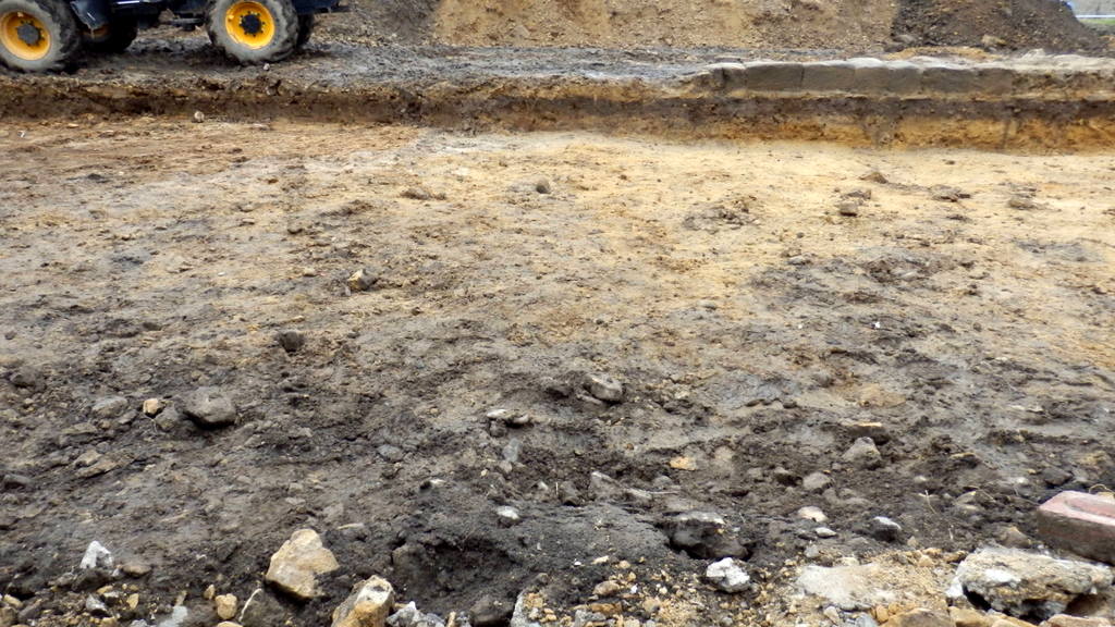
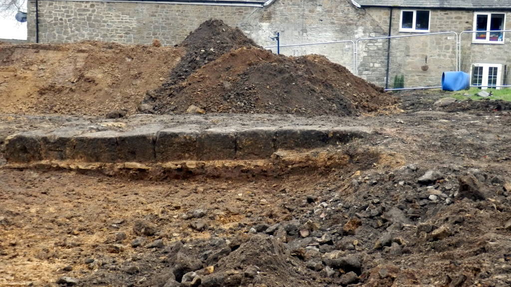
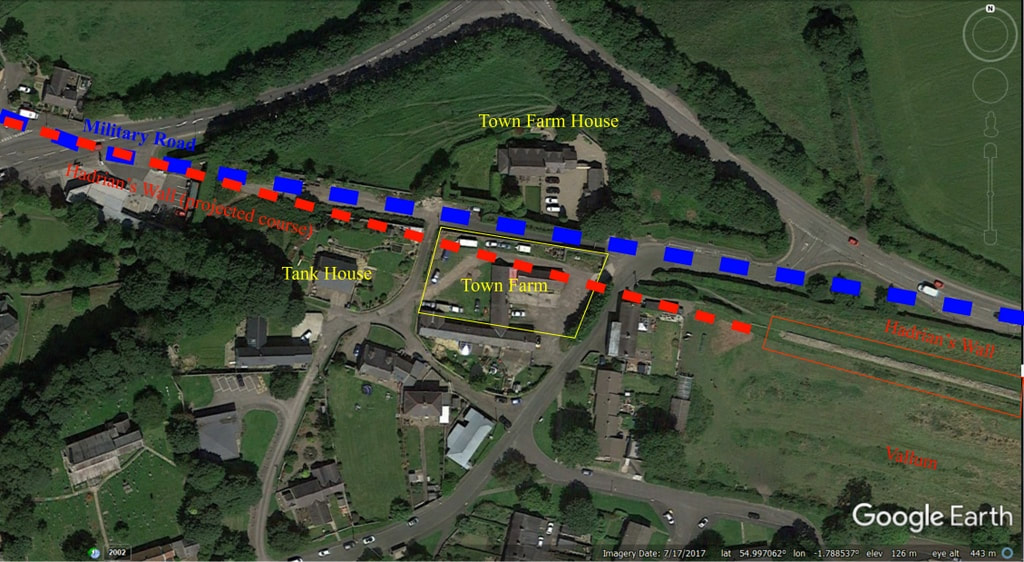
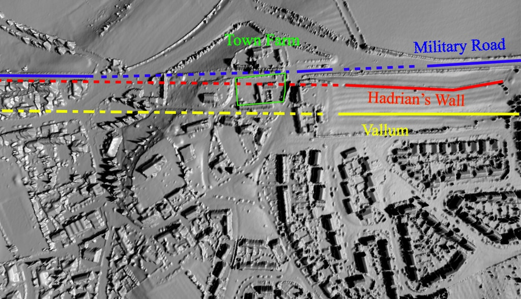
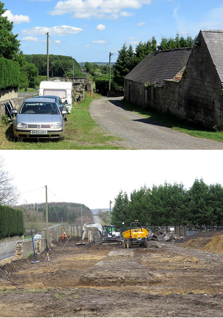
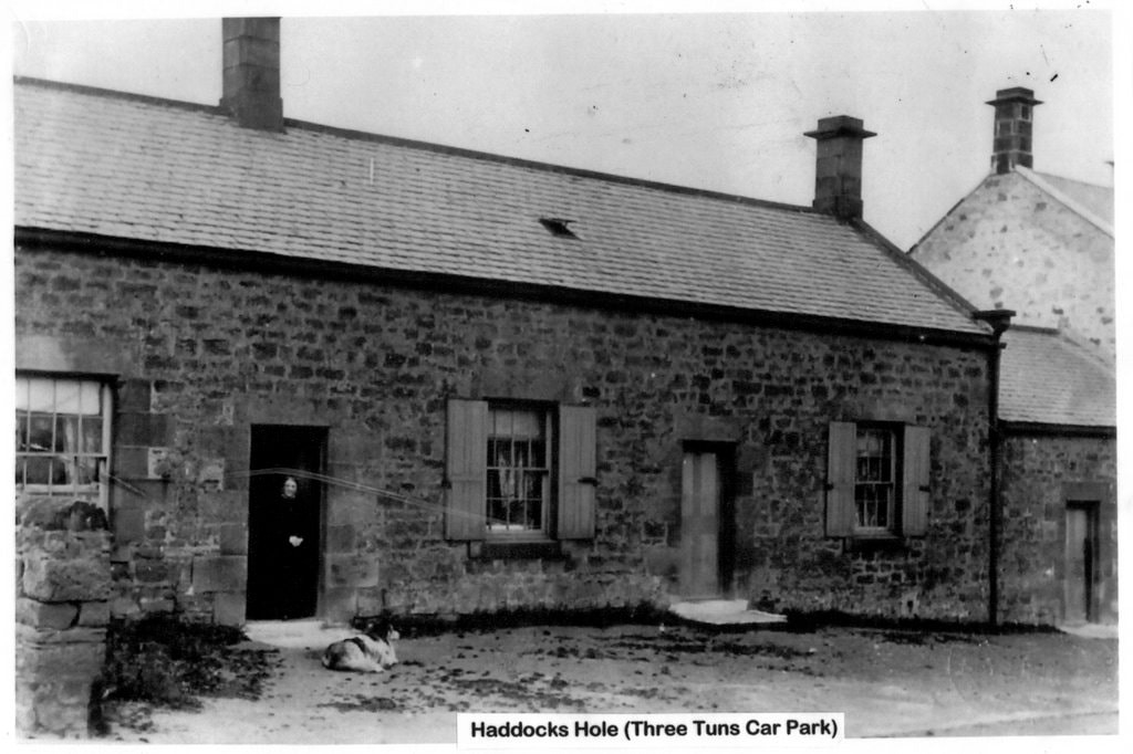
Some photos of the newly built houses on the former site of Town Farm (later Tulip's Yard) adjacent to the old A69 when it passed this way through the village. The line of Hadrian's Wall likes under the houses and was subject to excavation during development of the site. The development of two detached, 4-bedroom houses and three link-detached, 3-bedroom dormer bungalows was completed in the summer of 2019.
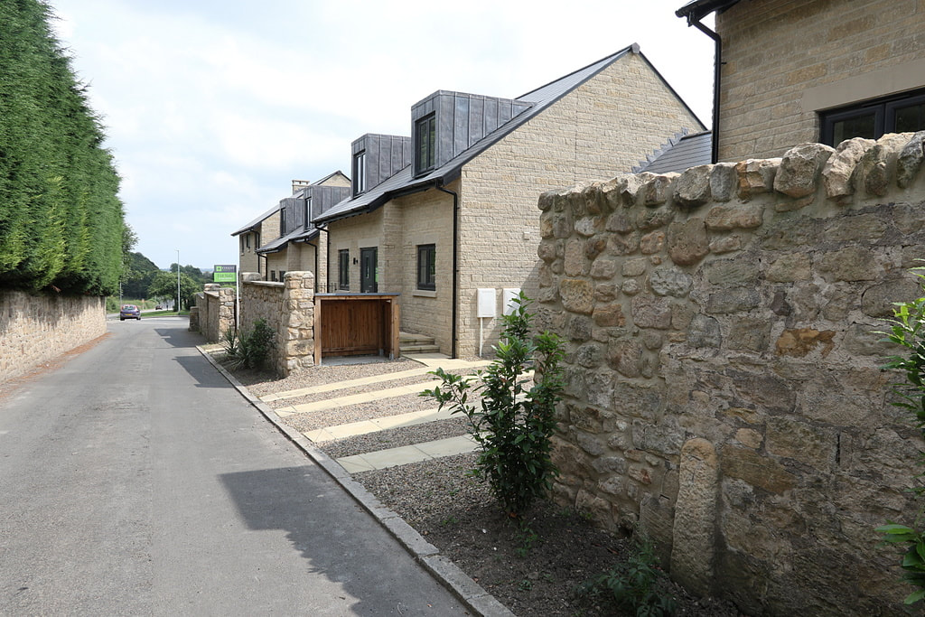
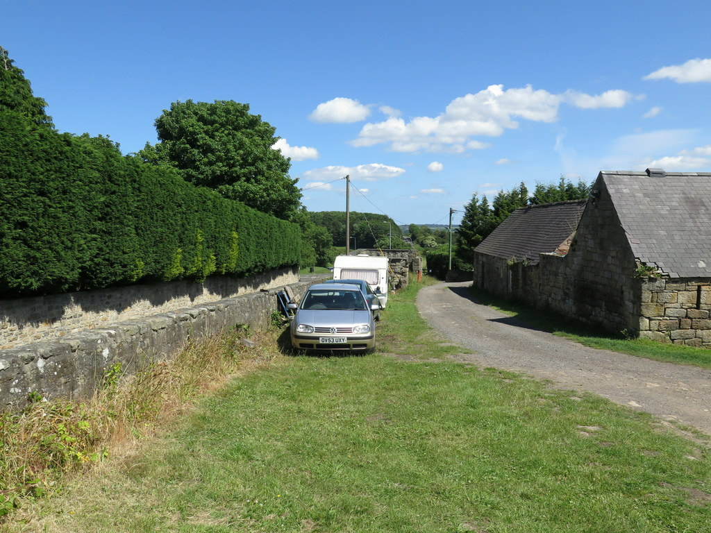
Tulip Mews, Heddon on the Wall. Photo A Curtis {2021).
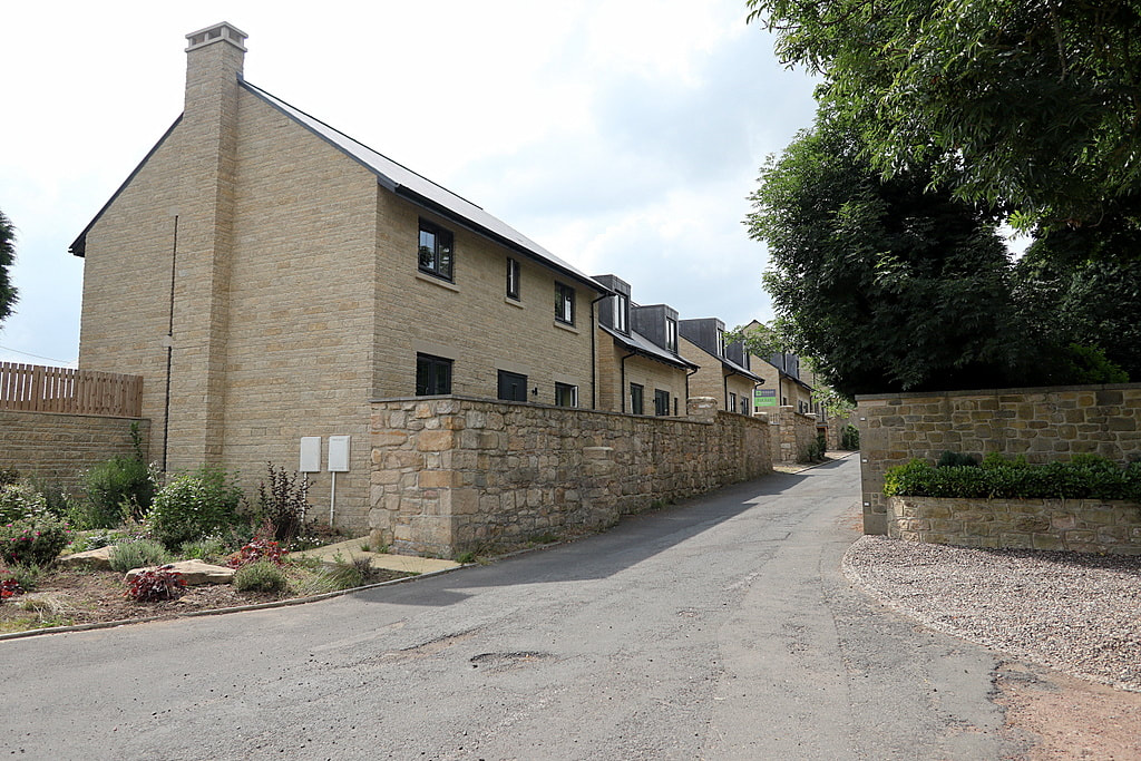
Tulip Mews, Heddon on the Wall. Photo A Curtis {2021).


 RSS Feed
