Other parishes - OS Name Books Explorer
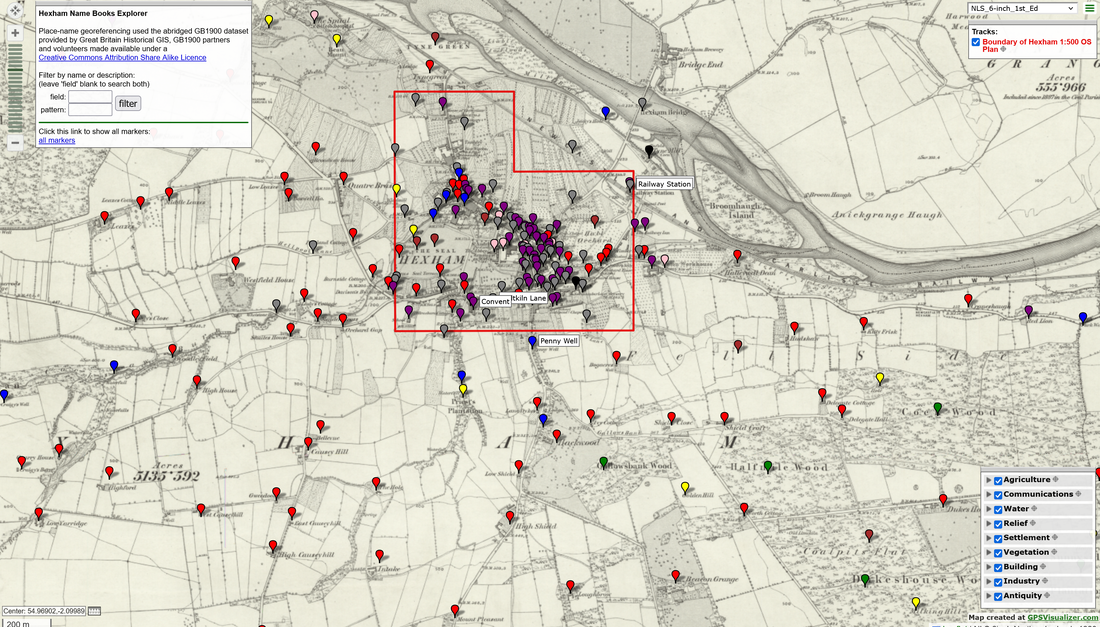
Place names from the Ordnance Survey Northumberland Name Books of some parishes I have recently mapped in Leaflet with the help of the online tool 'gps visualizer' using the georeferenced first edition OS 6" map (c1860) as its primary background. This map is made available at The National Library of Scotland.
As the Name Books were created by the OS surveyors for the production of this first edition map, it makes an ideal backdrop on which to explore the place names themselves, how the features were displayed on the map, and their descriptions in the name book entries.
As shown below in the screenshot of the map for Hexham, some larger scale plans where these are available at NLS are also referenced in the place name pop-ip information. Other maps, many also georeferenced, can be explored on the NLS website.
Download maps using the links below. Save the file to your computer, unzip, and double-click the html file to open in your default internet browser. The full-screen interactive map also includes a search function at top left.
| newburn_name_book_explorer-map.zip | |
| File Size: | 29 kb |
| File Type: | zip |
| hexham_name_book_explorer-map.zip | |
| File Size: | 66 kb |
| File Type: | zip |
| alnwick_name_book_explorer-map.zip | |
| File Size: | 32 kb |
| File Type: | zip |


