Heddon on the Wall in the Middle Ages
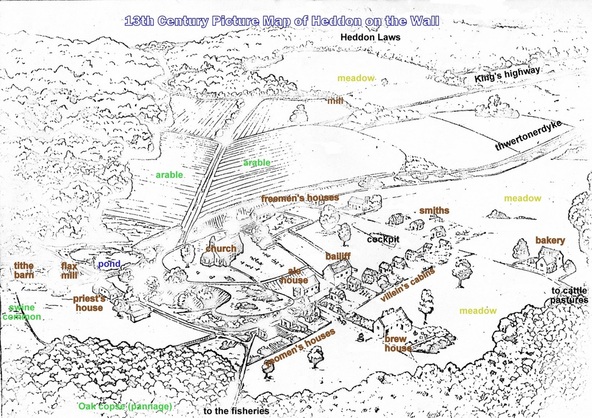
Recently this copy of a 13th century picture map of Heddon on the Wall came to light. The whereabouts of the original painting from which it was taken is not known and neither is the artist. Unusual for maps of this period it shows an aerial view of the village looking north.
'Thwertonerdyke' was the old name for Hadrian's Wall.
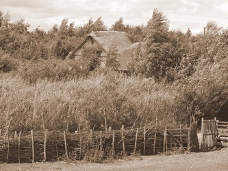
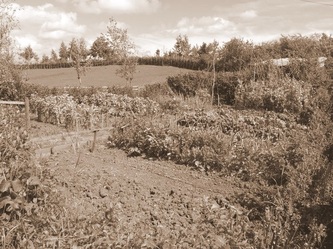
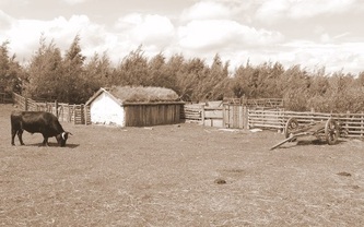
I have labelled some of the features, although we can't be certain if these are completely correct. Although no photographs have survived from this period, incredibly we have the three below taken by the Venerable Bede on a visit to 'Ad Murum' around 700 AD. Athough a few hundred years earlier, these should still give a good idea of the likely scenery, little changed from Saxon times.
What else might there be to find in the extensive archives of Heddon Local History Society?


