
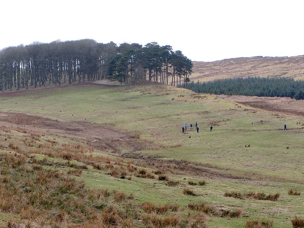
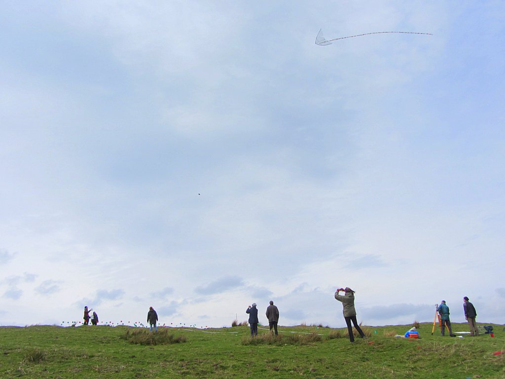
Figures in a big landscape. Level1 Survey of ridge south of Davy's Lee near Sewingshields, 20/03/2015. Photo A Curtis.
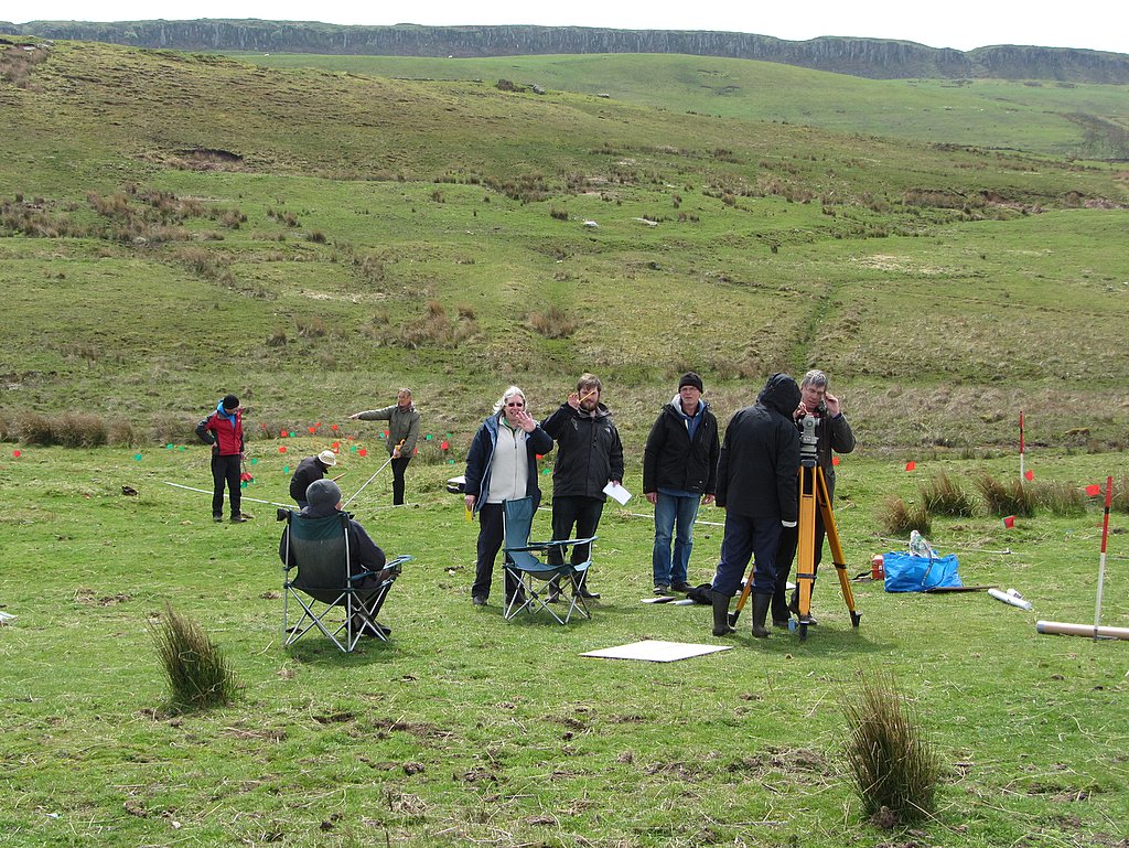
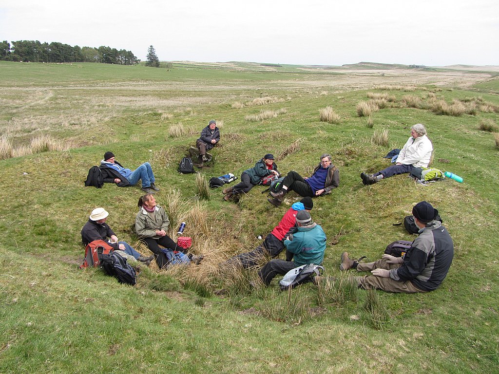
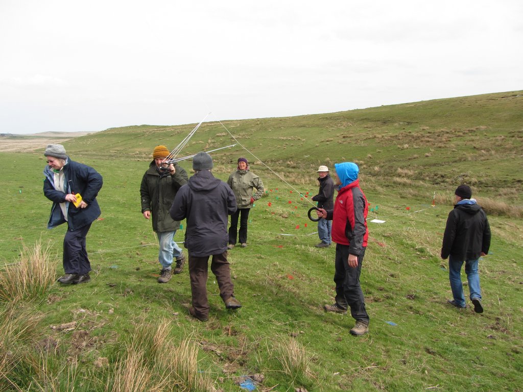
Managed to fit a day in with the North of the Wall Tynedale Archaeology Group - the final day of five (12-15 May 2015) completing a level 3 survey of the remains of a likely medieval shieling on a ridge north of Sewingshields.
Phil Bowyer's (who I thank for much of the following information) briefing for our task was:
We will be making detailed measurements and producing hachured plan drawings of a number of features on the low ridge south of Davy’s Lee. These features (HER 12456 to 12460) have previously been identified as stack stands. The assessment from our Level 1 survey in March [photo above] is that at least some of these features are probably shielings, and one may potentially be classed as a farmstead.
We will be making detailed measurements and producing hachured plan drawings of a number of features on the low ridge south of Davy’s Lee. These features (HER 12456 to 12460) have previously been identified as stack stands. The assessment from our Level 1 survey in March [photo above] is that at least some of these features are probably shielings, and one may potentially be classed as a farmstead.
According to the Place-names of Northumberland & Durham by Allen Mawer (1920), the name Sewing Shields means "Shiels of Sigewine" and dates back to Anglo-Saxon times. It implies that in this period there were seasonally occupied shelters, probably of a humble form, used by herdsmen in the summer months. Use of the grazing rights was probably granted according to manorial rights to family surnames who might live at some distance.
Two late-medieval (13th to 16th century) long-houses were identified during excavation of Milecastle 35 on Sewingshields Crags. They were interpreted as buildings built for storage and shelter, probably in use only for seasonal grazing (David Haigh, Mark Savage et al. 1984 Archaeologia Aeliana Fifth series, vol. 12 p.71-74).
Its interesting to think that the structures identified as 'stack stands' by Tim Gates aerial survey, and by the recent Tynedale Archaeology surveys as both stack-stands and possible medieval shielings in the area some distance north of the Roman Wall, may also be associated with this seasonal activity.
Sewingshields Castle, a medieval fortified tower house, was recorded in 1437 and ruined by 1592. It has a set of three fish-ponds situated just to the north of the probable site of the castle. It was clearly in a location both to control the old drove road from the north and rights to seasonal grazing on the grasslands above Sewingshields Crags and the limestone ridges further north.
... No towers are seen on the wild heath, but those that Fancy builds,
And save a fosse that tracks the moor with green,
Is nought remains to tell of what may there have been.
Description of the Castle of the Seven Shields from Harold the Dauntless (The Poetical Works of Sir Walter Scott).
 RSS Feed
