The Lambton Worm is a much better known tale from the River Wear area of County Durham and is one of the area's most famous pieces of folklore. The Linton Worm from the Scottish Borders is similar.
|
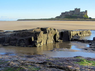
Worm (Old English: wyrm) is a local word for a serpent or dragon. There are many legends or folk-lore tales regarding such mythical creatures and how they terrorised their districts before being vanquished by a local hero. Some may go back a long way in time with the stories endlessly retold and embellished. The Lambton Worm is a much better known tale from the River Wear area of County Durham and is one of the area's most famous pieces of folklore. The Linton Worm from the Scottish Borders is similar. The Laidley Worm is Northumberland's alternative from the Bamburgh area but although all these stories were all presumably originally made up, this particular tale doesn't seem to have quite the same historical longevity.
2 Comments
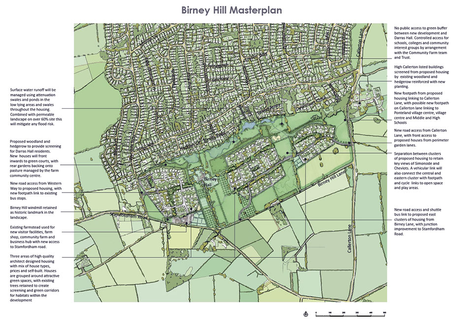
Another area of our local Green Belt proposed for housing development, along with that at Throckley (see blog below), is Birney Hill Farm south of Darras Hall. Here development firm, Lugano, have proposed building 280 properties despite strong local opposition.
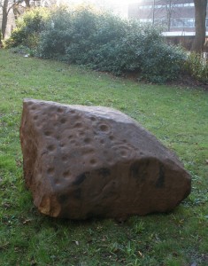
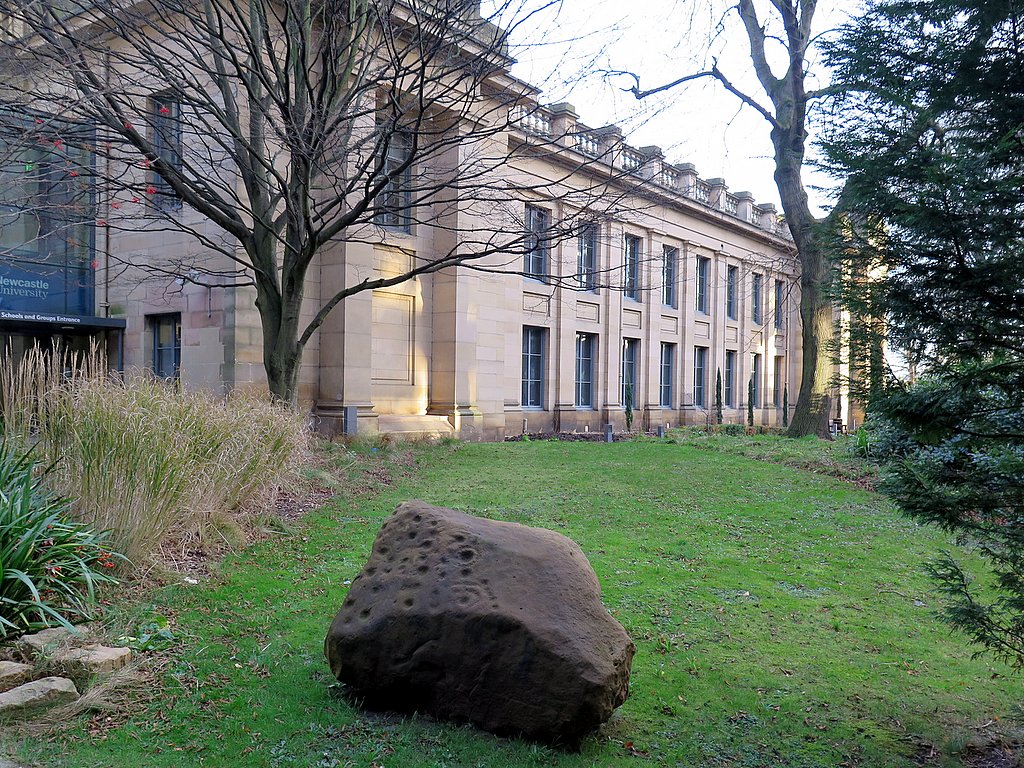
A large cup-and-ring marked stone was found recently during building operations at Birney Hill and acquired by the Society of Antiquaries of Newcastle upon Tyne in early 2015. The building company whose workers uncovered the stone, Wardell Armstrong, transported it to a site near the south door of the Great North Museum (Hancock).
The sandstone rock, weighing nearly 3 tonnes, is decorated with distinctive cup and ring symbols that are a common feature of prehistoric rock art. Archaeologists think that it is unlikely that the rock was originally from that location as it is clearly a part of a much larger rock that had been recut. It is possible that it was brought to Birney Hill from another location and was then used as part of a building or some other structure.
LINKS
Tyne & Wear Archives & Museums Blog: Rock Art from Birney Hill England's Rock Art (ERA) The Tales of the Frontier Project now has a new website at www.talesofthefrontier.org (web-archive) Leaflets and booklets can be found in the ‘Stories’ section at http://www.talesofthefrontier.org/wall-stories-leaflets-and-booklet.html (web-archive) Research for the Tales of the Frontier website was carried out by the Archaeology Department at Durham University to study the many ways in which visitors, locals and scholars view Hadrian's Wall; to explore how it has influenced the landscapes and communities through which it passes; and to understand how the Wall came to be the prominent World Heritage site that it is today. UPDATE 15th July 2020 Scanned and uploaded all the leaflets as the web-site above is no longer available.
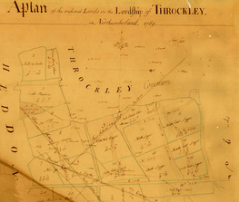
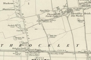
My friend, Les Turnbull, is conducting research at the Mining Institute on the work of the notable Colliery Engineer, William Brown who was based for time in Throckley. Every now and then he sends me interesting nuggets of information about our local waggonways that keep my spark of interest in that subject alive. This time his message was: Recently, I was asked to comment upon a manuscript that was sent into the MI from a former pitman who was born in Throckley and I quote below an extract for your interest and comments. The waggonway in question is shown on the plans of Throckley shown below. The earlier plan (left), although unlikely to be anywhere as early as 1713 as suggested, shows a waggonway crossing the Military Road (which was only completed in the 1750s) from south-east to north-west, west of the Newburn Road junction. In a big single field north of the road, named as 'West Leagure', it served two pits, Honey Pit and Meadow Pit, the latter situated just west of a group of buildings annotated as 'Browns House'.
Several pits are also shown in 'Maddies Pasture' west of Drove Road and in 'Quarry Field' to its north, but no waggonways are shown serving them. On an plan from Alnwick Castle dated 1755, a waggonway is shown, parallel to and on the south side of the Military Road, branches heading north-west and south-west from a point close to the Drove Road junction. On the 1769 plan, 'Leagure' has been subdived into four fields, 'Ligger'. A waggonway crosses the Military Road as above but on the north side, in 'South Ligger', it branches. One branch heads west past New Engine Pit in 'South West Ligger', then north-west, crossing the Drove Road, to Duke Pit, situated then just beyond the enclosed land on what was Throckley Common. The other branch runs to the north between 'North West Ligger' and 'North Ligger', where Hill Pit is shown, to Meadow Pit, then located in another enclosure named as 'Fell Bulls Close'. At this time, Throckley village was located south of the Military Road at Bank Top, connected to its Common by the Drove Road. The waggonway to Meadow Pit is also shown on 'A Plan of the Inclosed lands of Throckley' of 1781 (NRO ZAN M17/197/A/37). The waggonway is not shown on the 1st edition Ordnance Survey map of 1858 so was presumably out of use by this date. |
AuthorAndy Curtis Archives
April 2024
Categories
All
|
||||||||||||||||||||||||||||||||||||||||||||||||||||||||||||||

 RSS Feed
