
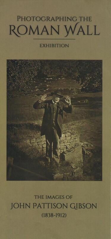
Thanks to the work of David & Margaret Blackett, the Knott Memorial Hall in Heddon has been successful in acquiring the 'Photographing the Roman Wall Exhibition’ touring as part of the Hadrian's Wall 1900 Festival.
This amazing collection of photographs were taken by Hexham Chemist, John Pattinson Gibson between 1886 and 1910. They were left in the care of Northumberland Archives. This year, Hadrian 1900 lottery funding has enabled a public exhibition. They have also been on display at Haltwhistle Town Hall and Hexham Abbey.
They will be on display in the Knott Memorial Hall, Heddon on the Wall from 31st October until 18th November.
Heddon Local History Society are hosting an introductory talk about the collection by Kate St Clair Gibson (Local Studies Librarian, Northumberland Archives) on Wednesday 9th November at 2pm in the Knott Hall.
Image dated c1955 - c1978 from Historic England
The shop was owned by the Gibson family, and was opened c1834, and closed c1978. J. P. Gibson, b.1838, became a notable photographer of archaeology, and helped to develop an artist style of photography in the late 19th century. The shop front and fittings were saved by the Science Museum in London, as the building was due for demolition, and are currently on display.
The shop was owned by the Gibson family, and was opened c1834, and closed c1978. J. P. Gibson, b.1838, became a notable photographer of archaeology, and helped to develop an artist style of photography in the late 19th century. The shop front and fittings were saved by the Science Museum in London, as the building was due for demolition, and are currently on display.

Former Gibson Pharmacy, 16-18 Fore Street, Hexham. Photo A Curtis (2022)
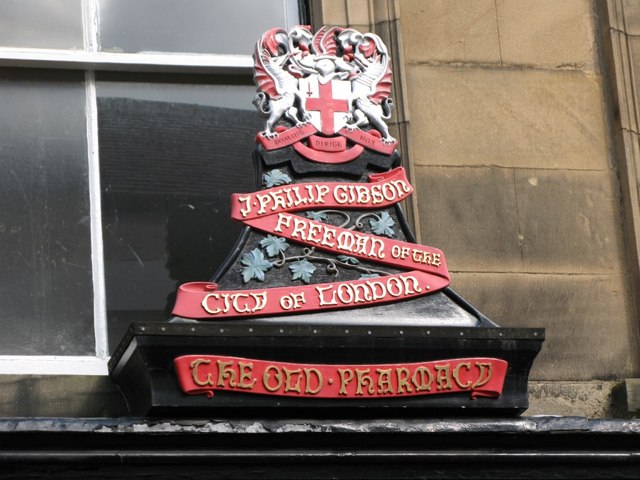
Wooden carving originally above Gibson's Pharmacy. © Copyright Mike Quinn (2007)
John Pattison Gibson was born in Hexham on 4th January 1838, the son of Clara and William Wilson Gibson, the local chemist.
He was educated at Hexham Grammar School and later Newcastle Grammar School after which he served his apprenticeship as a chemist.
Gibson became interested in photography in about 1856 when he had his portrait taken by a school friend in Newcastle. Shortly afterwards he bought a set of apparatus himself for 30 shillings and set up a portrait studio above his father's shop. When he took over father's chemist business, however, he gave up portraiture in favour of landscape photography. He became renowned as a highly distinguished photographer, winning in excess of 50 medals locally and abroad, most notably the Paris International Exhibition of 1899.
Gibson joined the Society of Antiquaries in 1883 and his interest in the Roman Wall grew. His first significant discovery was the Mucklebank Wall turret in 1891 which he happened upon thanks to a rabbit hole. He was involved in the excavation of the turret in 1892.
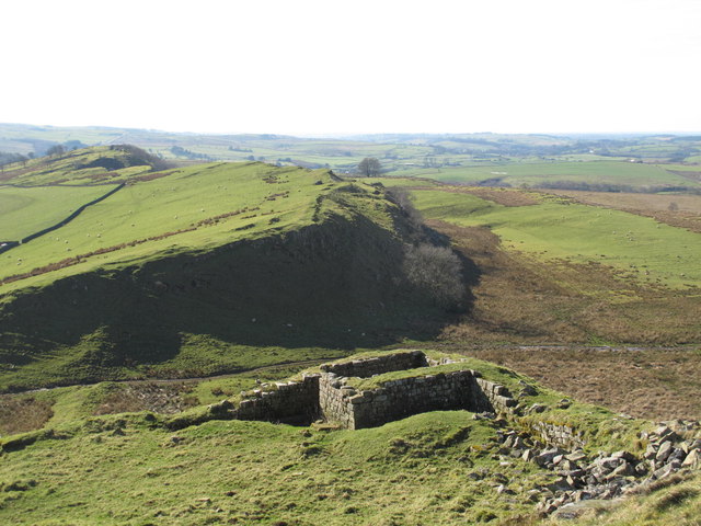
Turret 44b (Mucklebank) © Copyright Mike Quinn (2014)
He later assisted in the excavations at Great Chesters from 1894-6, all the while using his photographs of the findings to report back to the Society.
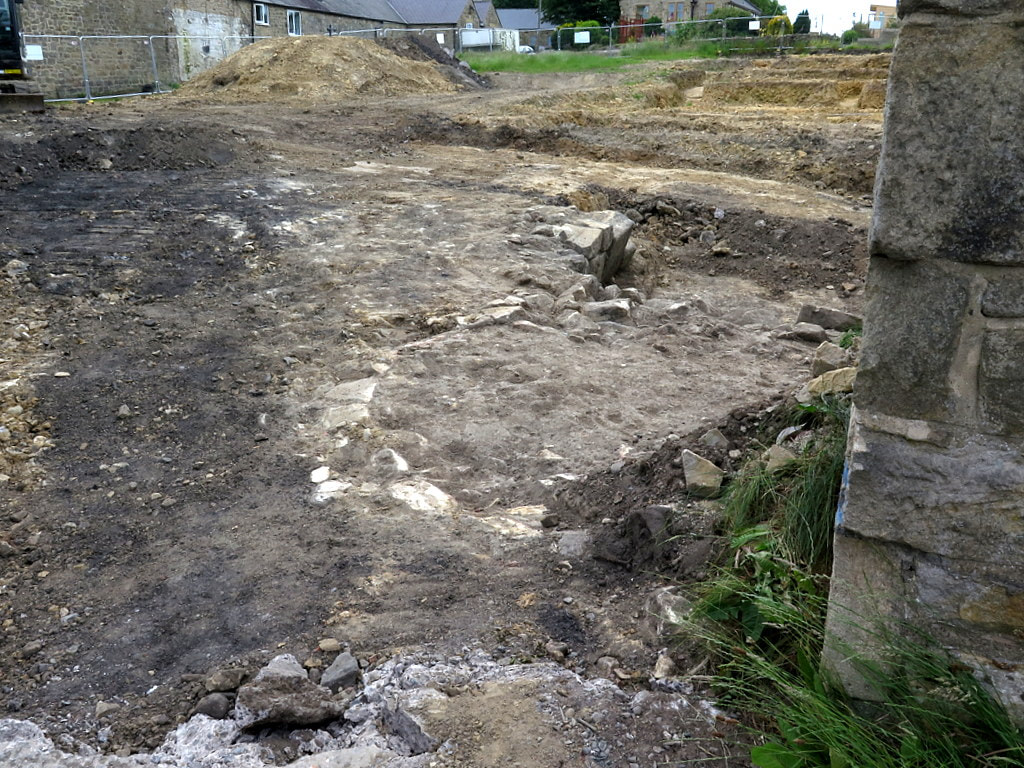
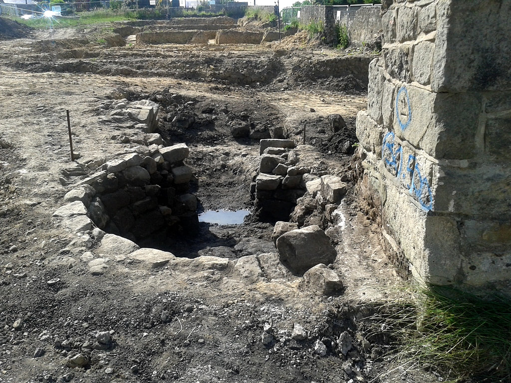
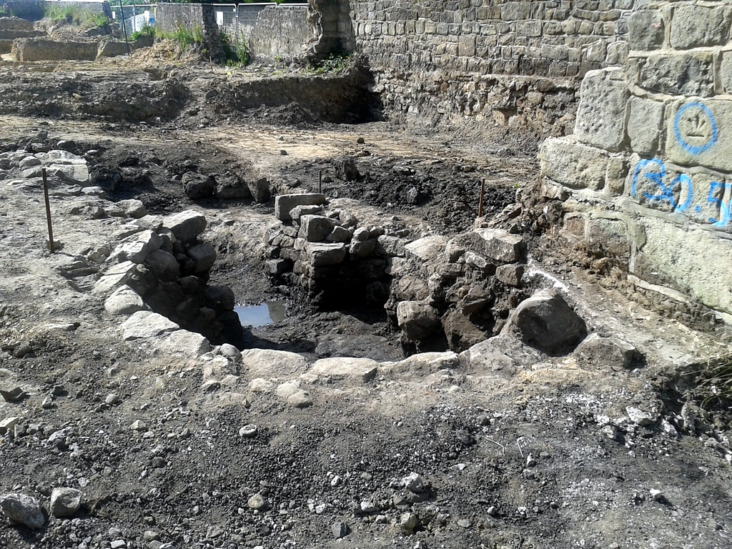
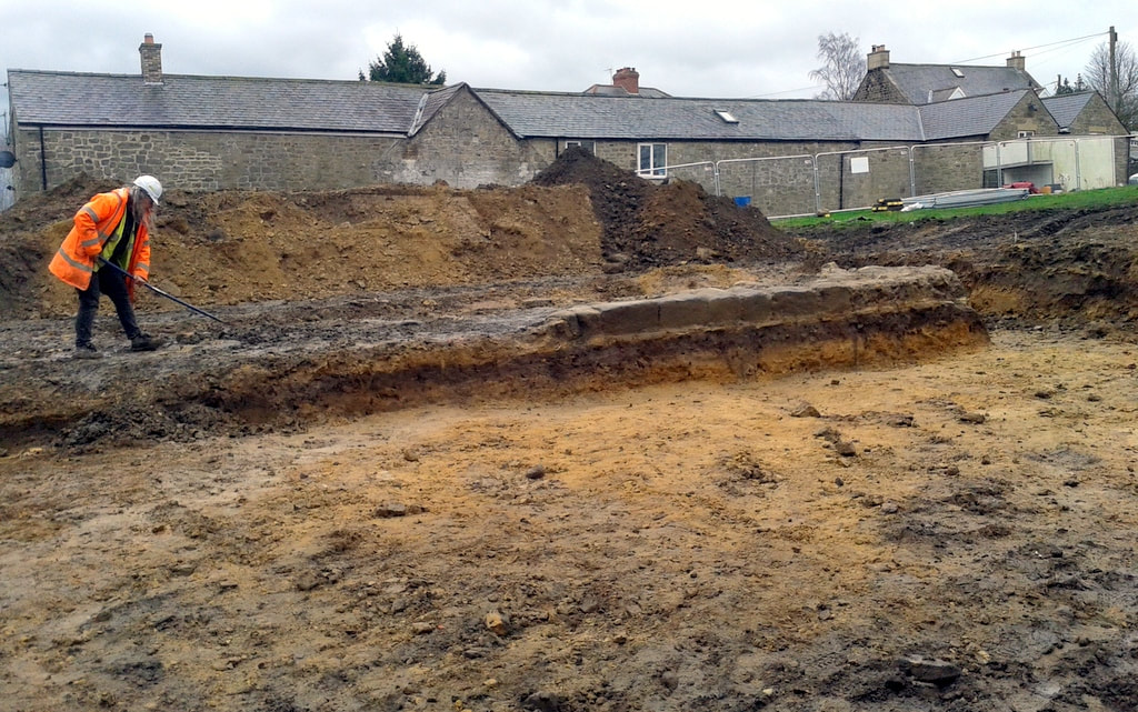
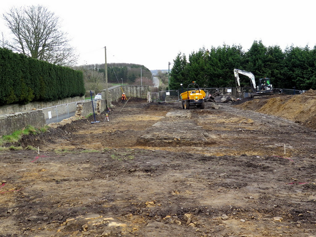
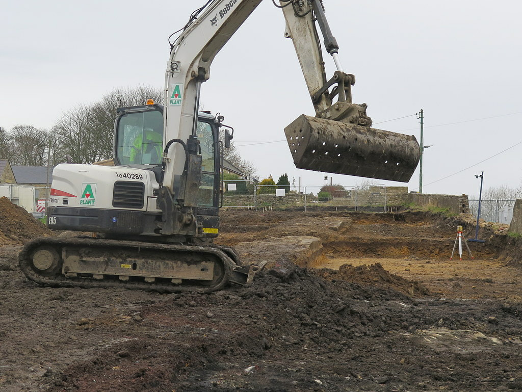
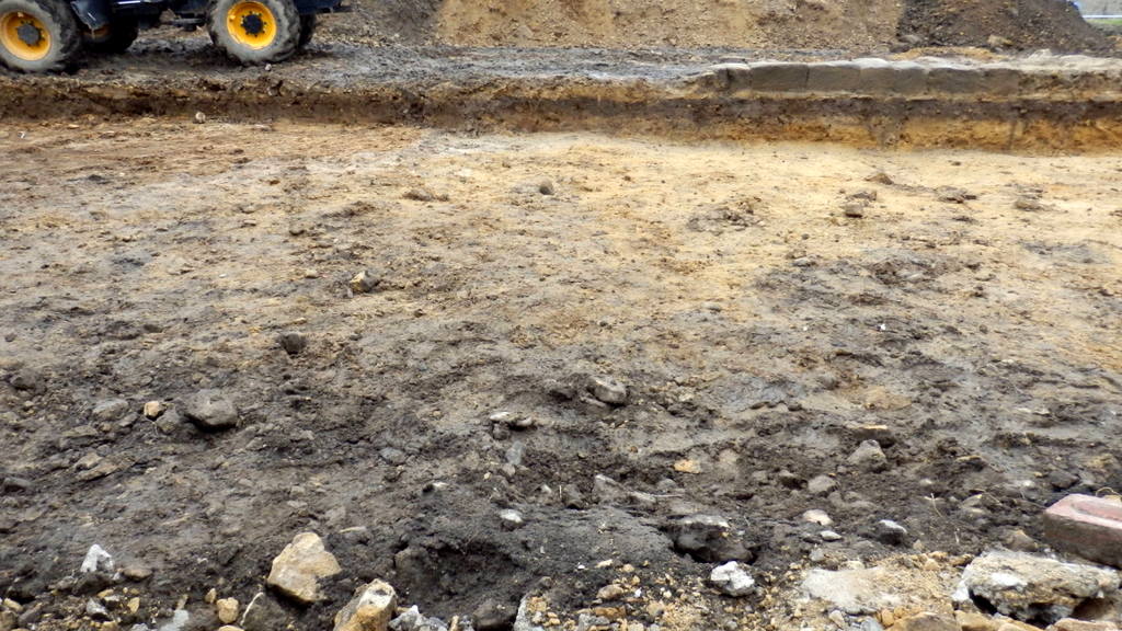
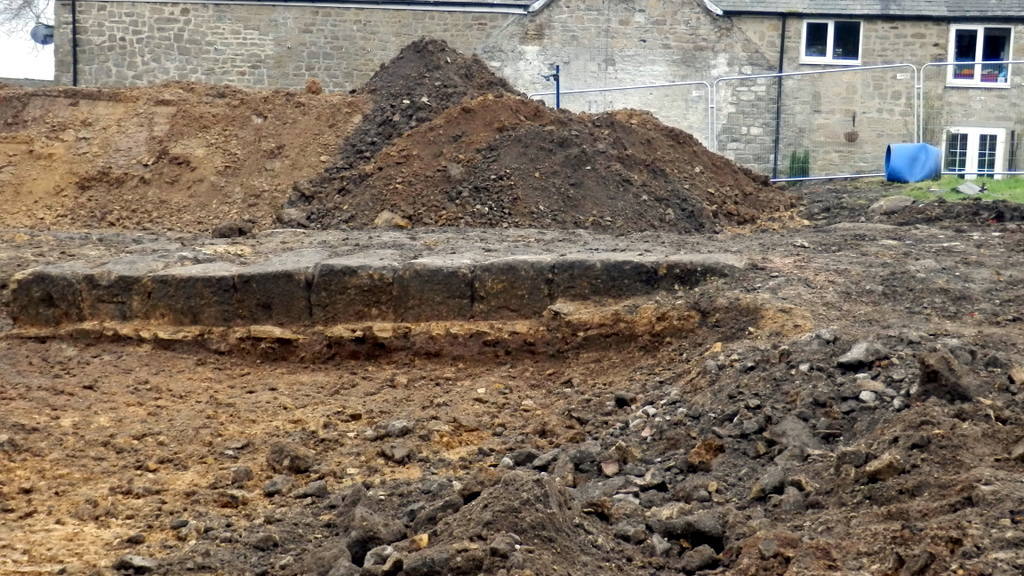
In 1907-8 he worked with Frank Gerald Simpson in excavating the small fort at Haltwhistle Burn and then once again in 1909, together with F.G. Simpson, he excavated Milecastle 48. The report was published the following year (see link below) and is one of the most important excavation reports published on a site on Hadrian's Wall. In 1911 he was made a Fellow of the Society of Antiquaries.
In 1907-8 he worked with Frank Gerald Simpson in excavating the small fort at Haltwhistle Burn and then once again in 1909, together with F.G. Simpson, he excavated Milecastle 48. The report was published the following year (see link below) and is one of the most important excavation reports published on a site on Hadrian's Wall. In 1911 he was made a Fellow of the Society of Antiquaries.
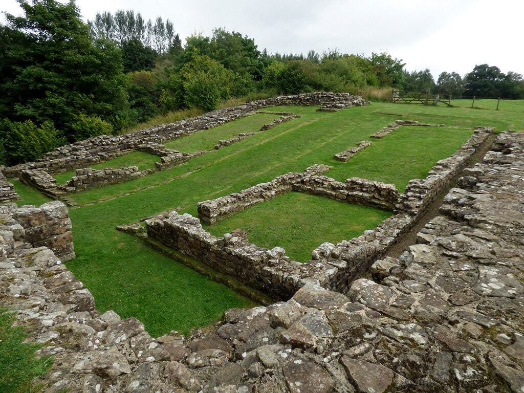
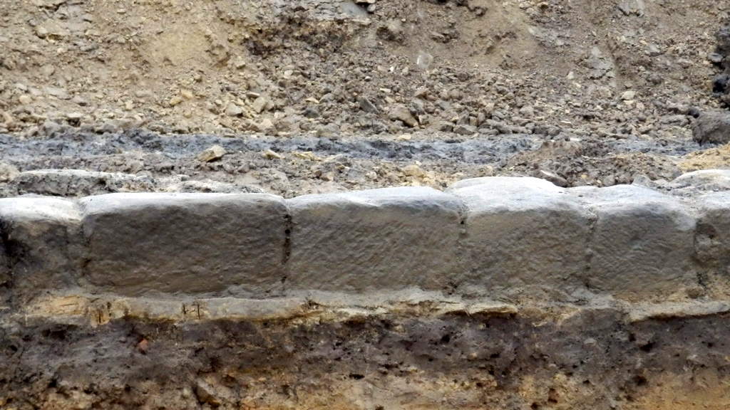
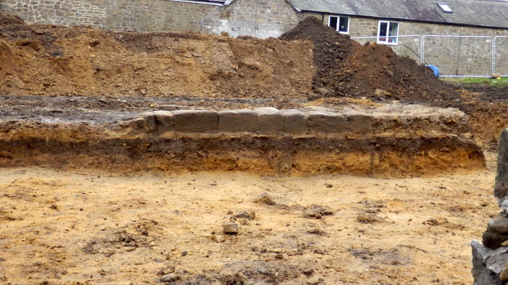
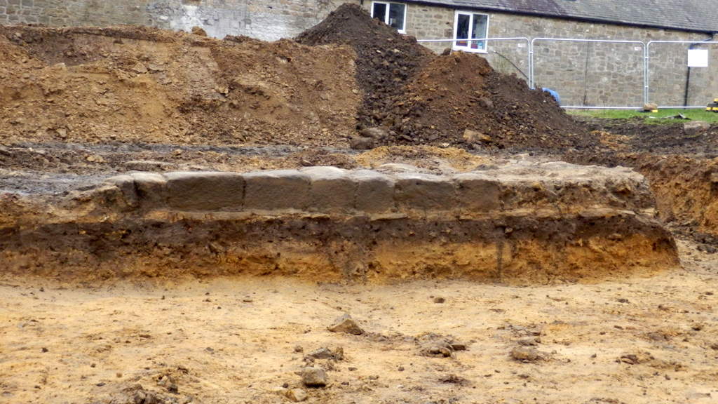
Milecastle 48 (Poltross Burn). © Copyright Sandy Gerrard (2021)
J. P. GIBSON, F.S.A., and F. GERALD SIMPSON (1911), The Milecastle on the Wall of Hadrian at the Poltross Burn. Transactions of the Cumberland & Westmorland Antiquarian & Archaeological Society 11 (series 2), p. 390 - 461.
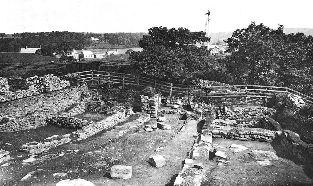
Fig. 1. General view, looking N.
Apart from his enthusiasm for archaeology and photography, Gibson was also a keen member of the local Volunteer Corps and retired as a Major in 1892.
John Pattison Gibson died in Hexham on 22 April 1912, aged 74.
John Pattison Gibson died in Hexham on 22 April 1912, aged 74.
John Pattison Gibson had eight children, one of whom was the renowned Hexham poet, Wilfrid Wilson Gibson (1878-1962).
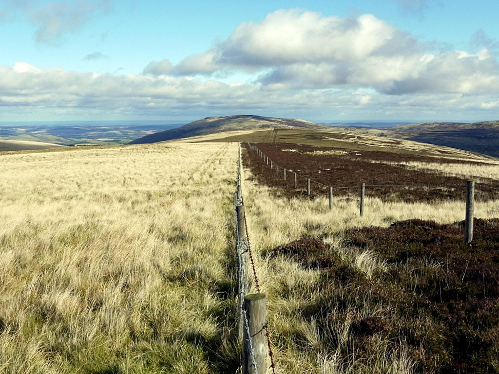
Black Land & White. © Copyright Andrew Curtis (2012).
Heather land and bent-land,
Black land and white,
God bring me to Northumberland,
The land of my delight.
Land of singing waters,
And winds from off the sea,
God bring me to Northumberland,
The land where I would be.
Heather land and bent-land,
And valleys rich with corn,
God bring me to Northumberland,
The land where I was born.
'Northumberland' by Wilfrid Wilson Gibson, Hexham's People's Poet.
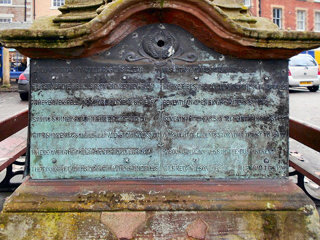
Poem on Hexham Pant. © Copyright David Dixon (2012)
|
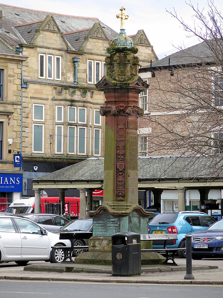
Hexham Pant © Copyright Andrew Curtis (2018)
|
Wilfrid's sister, Elizabeth Gibson, later Elizabeth Gibson Cheyne (1869-1931), was also a published author and poet.
LINKS
Town's former chemist's has pride of place in London's Science Museum. Hexham Courant 19th November 2019
Hexham Local History Society: Gibson Shop Gallery
Town's former chemist's has pride of place in London's Science Museum. Hexham Courant 19th November 2019
Hexham Local History Society: Gibson Shop Gallery


 RSS Feed
