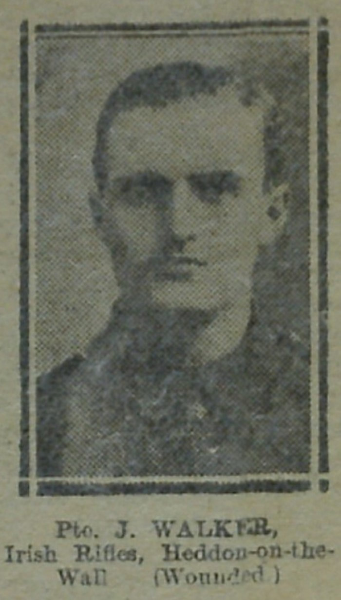
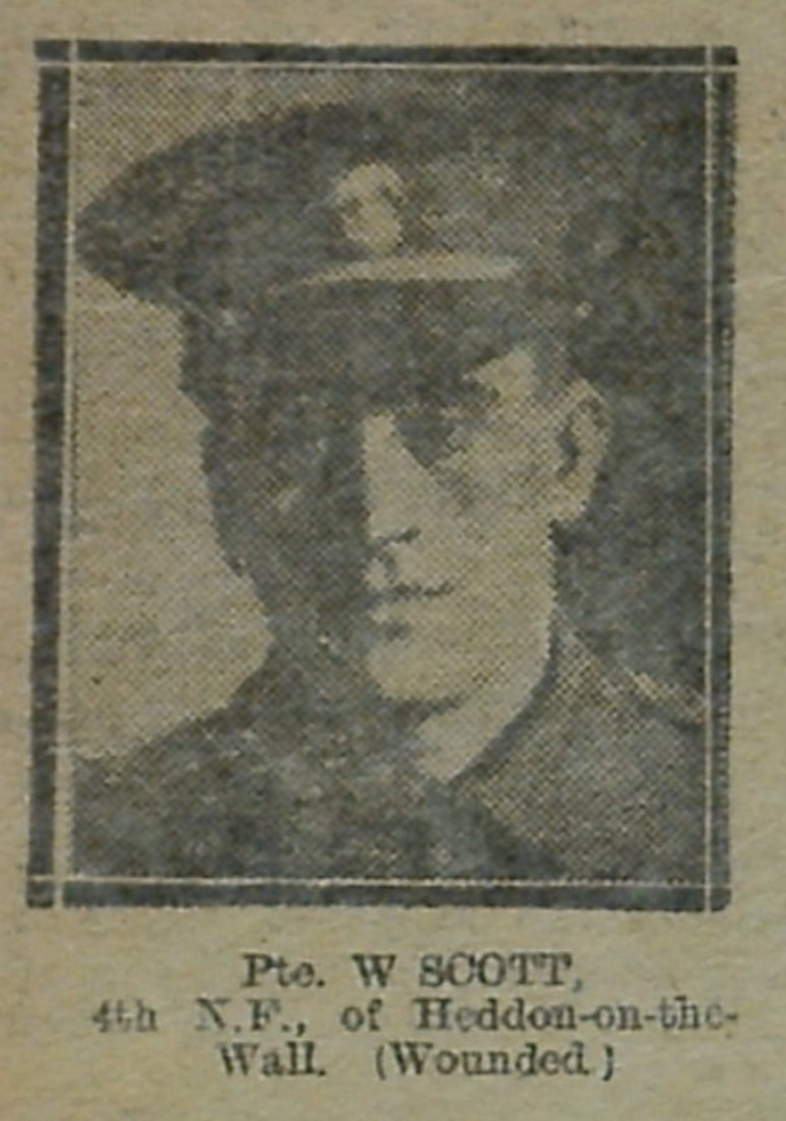
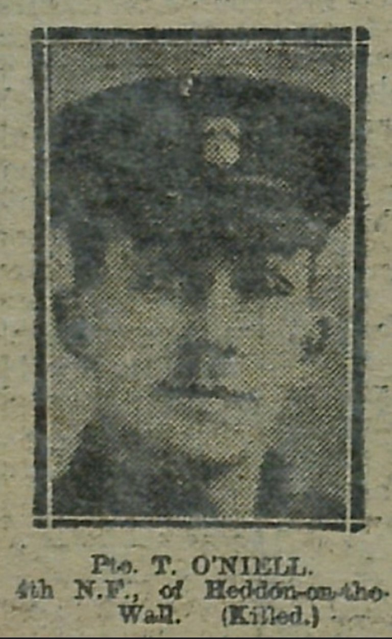
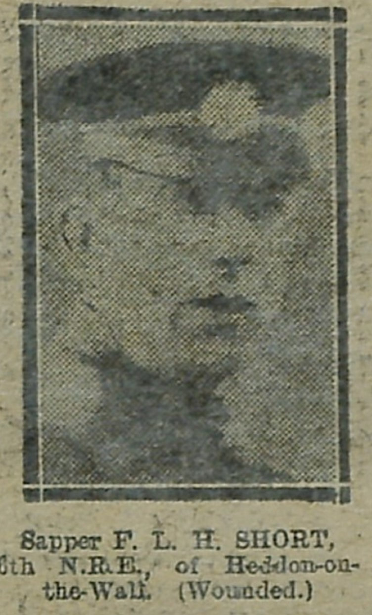
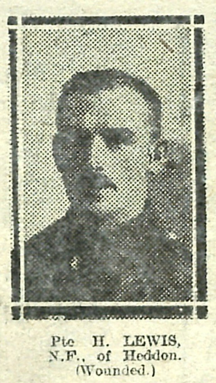
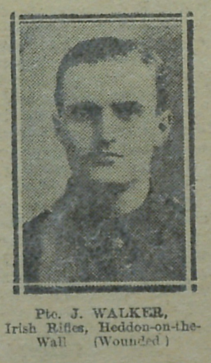
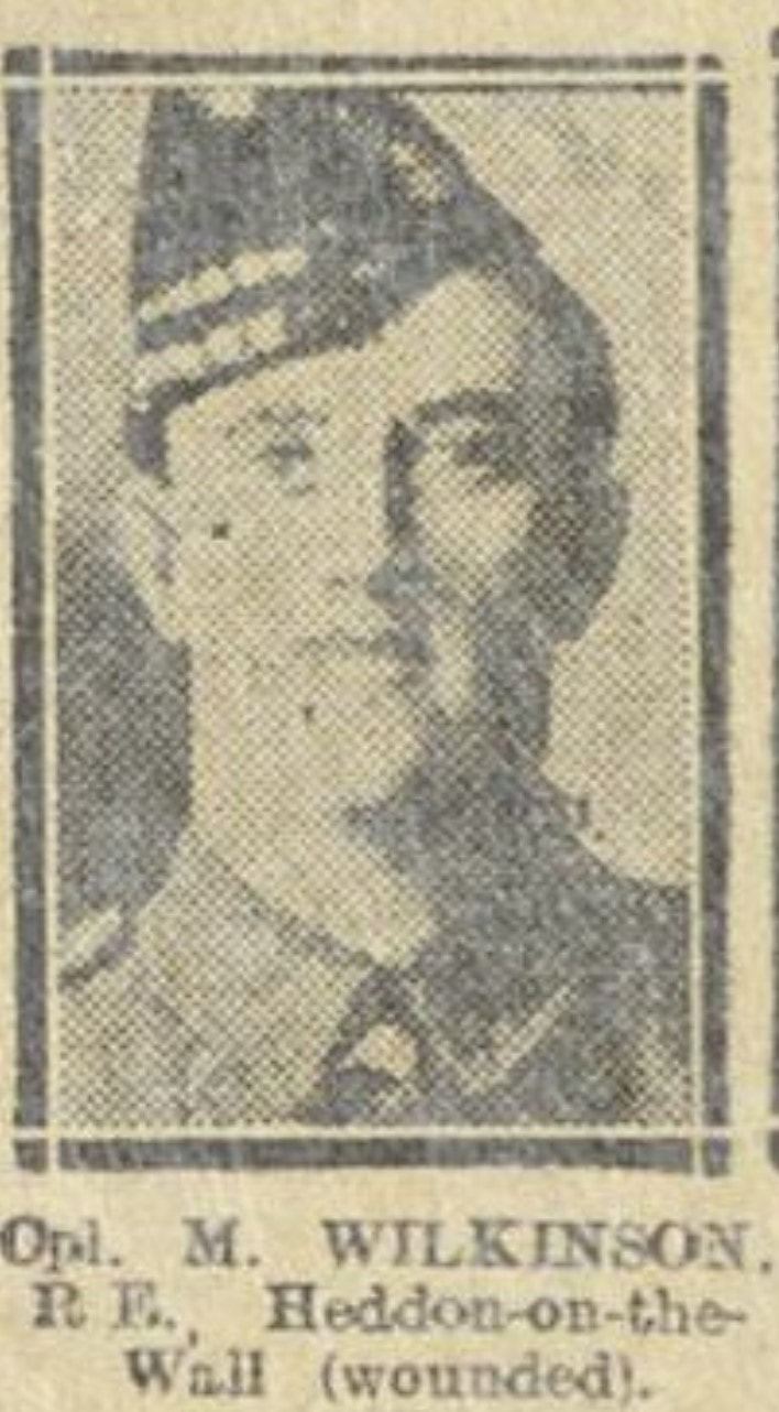
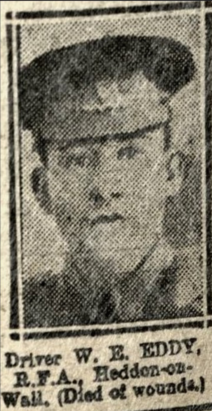
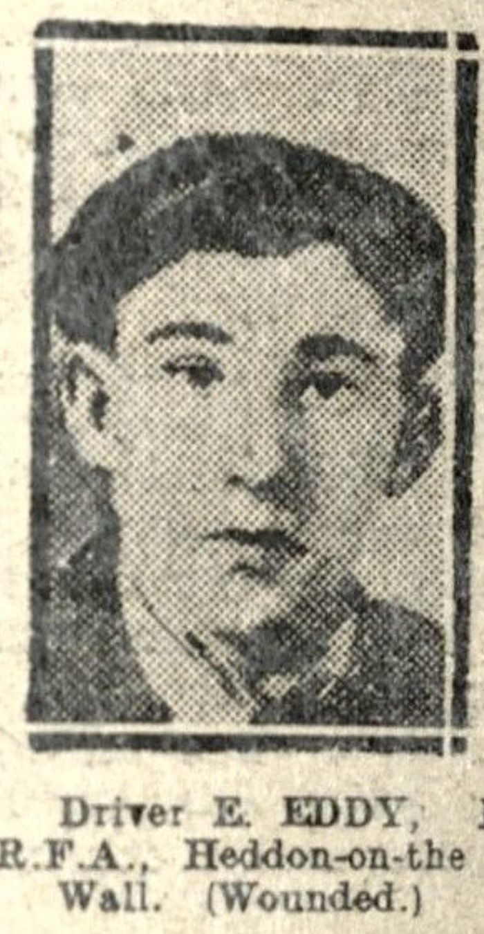
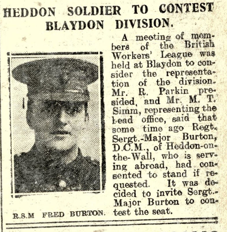
"Their primary purpose was to train infantry companies in the routine of defence, control of overhead artillery fire and relief in the line during World War I. The trenches, which face northwards, are visible as a series of earthworks covering an area of about 240m north west to south east by 150m north east to south west. The plan of the trenches, which is best appreciated from the air, includes a front line fire trench, a support, or reserve, line and associated communications trenches.
The front line, which lies at the northern extremity of the complex, is visible as a fire trench of `bastion trace' or diamond-shape layout with four interlinked bastions. Each bastion has a parados or mound of earth to the rear, offering protection against reverse fire and the back burst of high explosive shells. Communication trenches link the bastions and run behind the parados in each case, turning them into isolated mounds up to 1.5m high. A support or reserve line lies between 60m and 70m to the south of the front line, connected to it by a further set of three similar bastions each with an isolated parados. The form of the reserve line is of `square trace' or fire trench with traverses. Communication trenches with a zigzag profile run southwards from the east and west ends of the reserve line for 80m and 90m respectively at which point they converge. From this point further short lengths of trench of a similar form continue to the south and east."
Scheduled Monument protected by law: 1021025


RSS Feed