
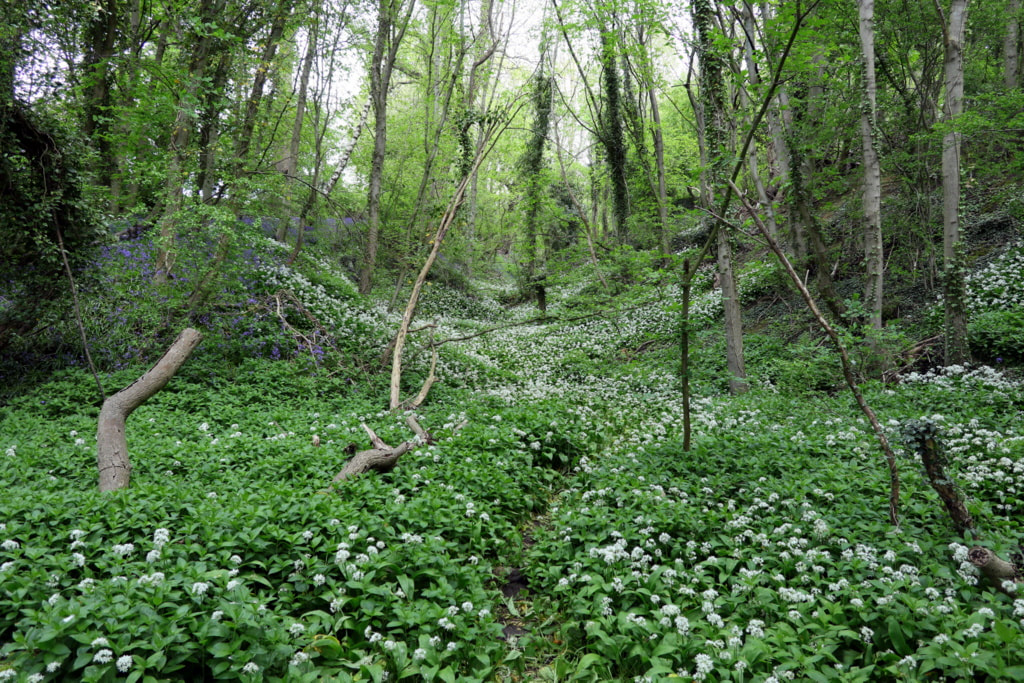
Engine Plantation, Throckley. Formerly the site of Throckley Isabella Colliery. Photo A Curtis (2021).
Information on the reclamation of former industrial land between Throckley & Newburn in the creation of Tyne Riverside Country Park.
Hesselberth A & Hobson D (2003). Land reclamation in the North East: the last 30 years.
Chapter 4 (p. 81-89) in: H.M. Moore, H.R. Fox, S. Elliott, Land Reclamation - Extending Boundaries: Proceedings of the 7th International Conference, Runcorn, UK, 13-16 May 2003.
ABSTRACT: The North East of England has a long and glorious industrial heritage. This has led to a legacy of derelict land, but also to opportunities for reuse and regeneration. Government priorities and means of funding have changed over the last 30 years. The paper examines how land reclamation has progressed from the 1960s to the present time. It also looks at what has happened to land reclaimed during the earlier times and draws conclusions about the lessons that can be learned.
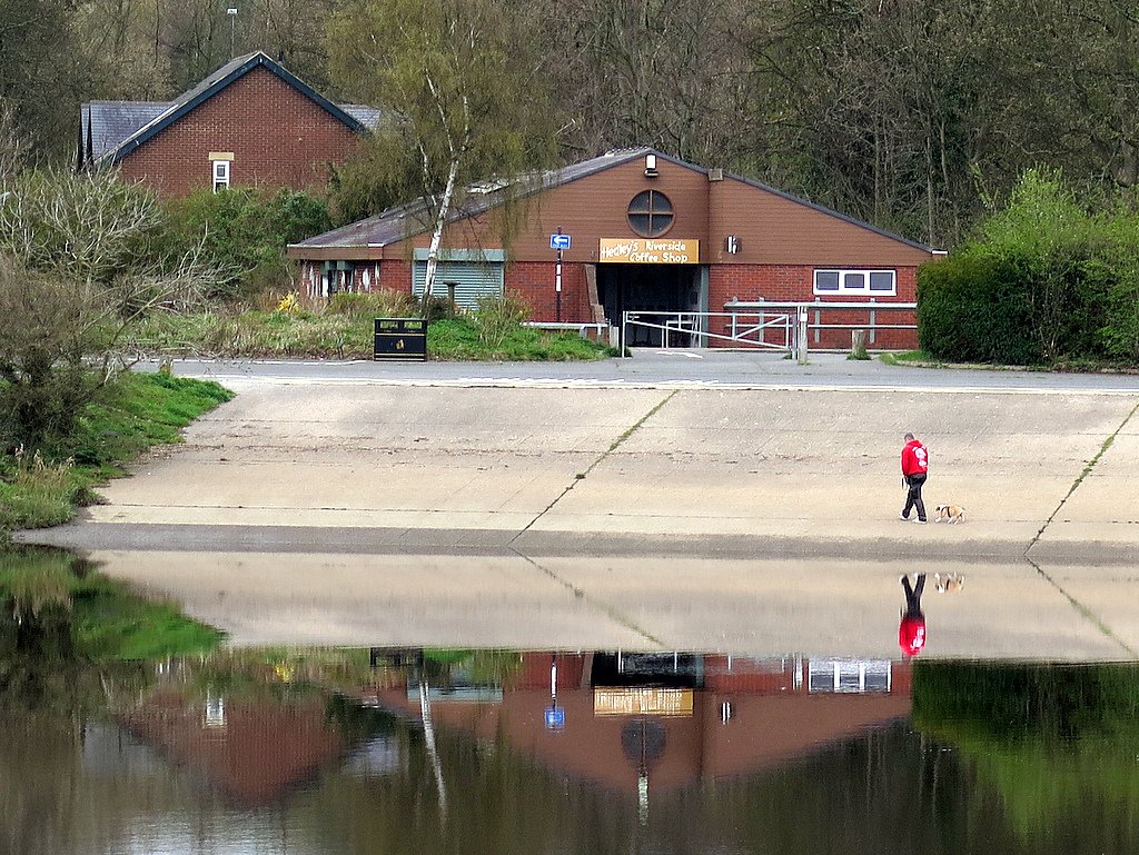
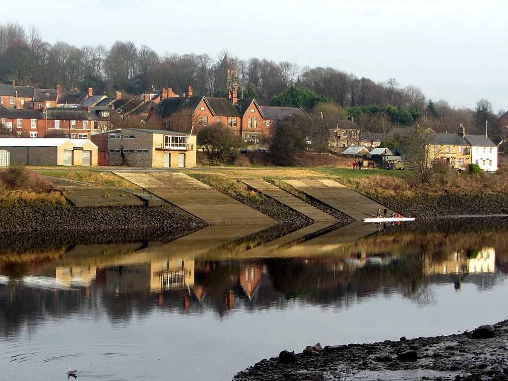
Slipway, Tyne Riverside Country Park. Photo A Curtis (2016).
4 Case Studies
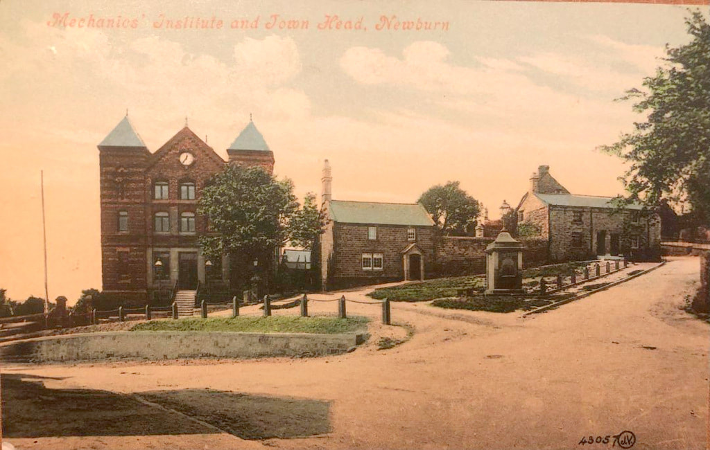
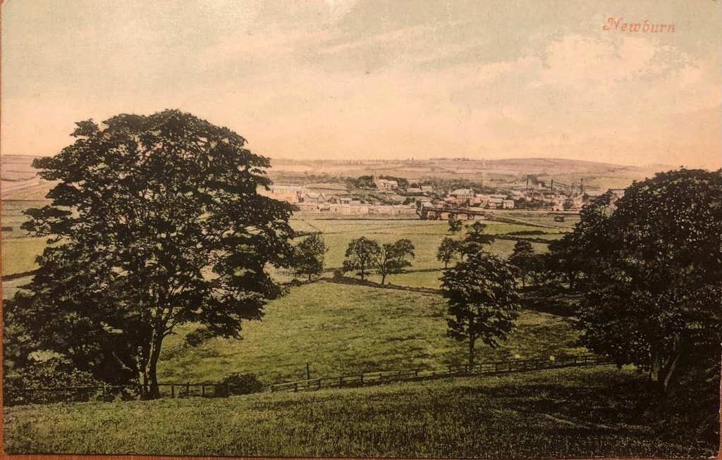
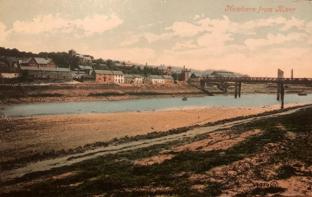
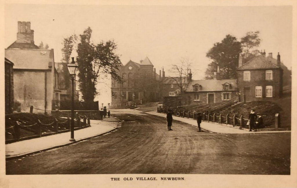
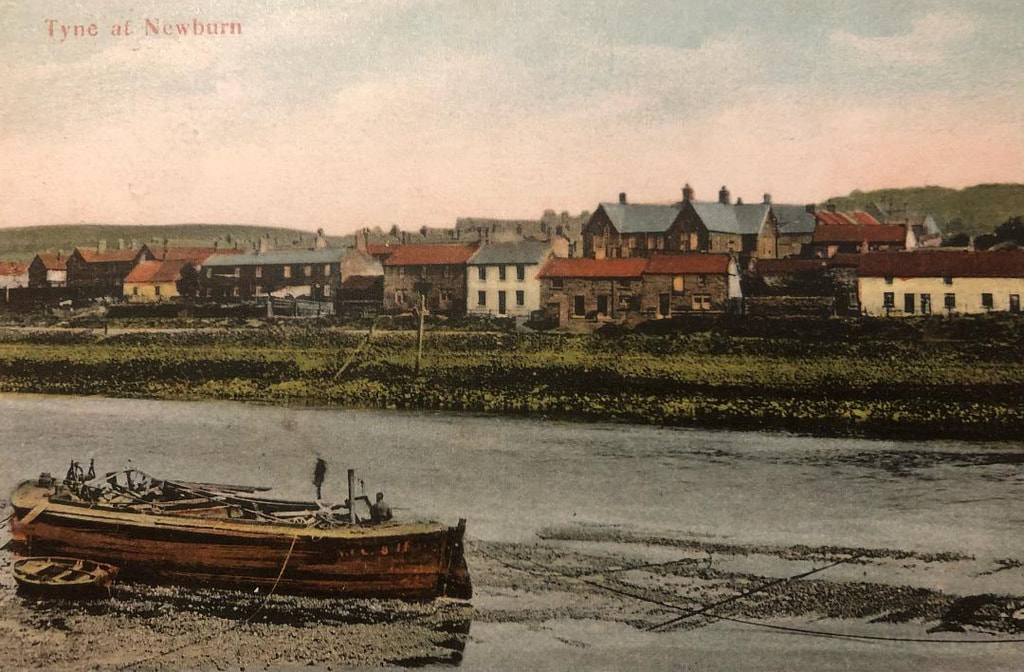
4.1 Isabella colliery
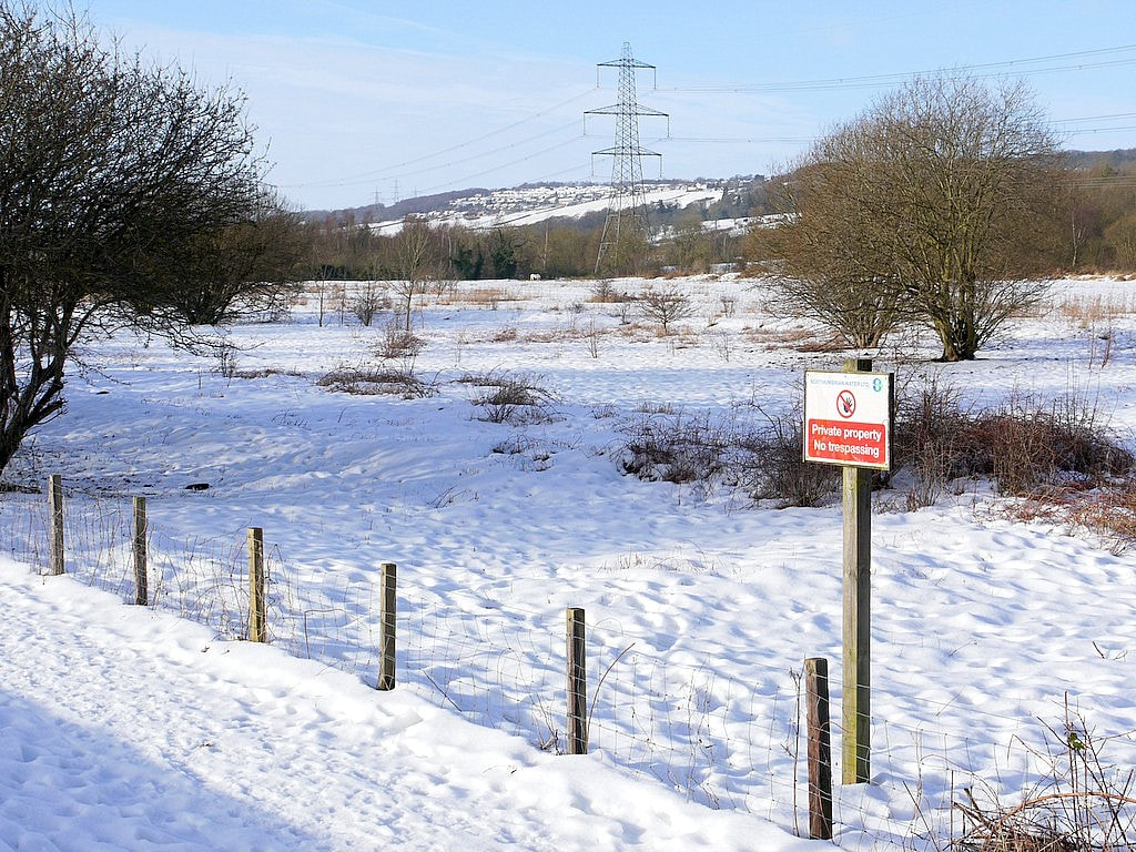
An area of approximately 50 ha of land on the North bank of the River Tyne between Newburn and Throckley lay derelict for many years following the cessation of mining and the closure of a railway line. The site contained a number of interesting features including a scrap yard, railway track bed, waste heaps, lagoons, shafts from which mine water continuously discharged, and an area used by the water company for the disposal of liquid sludge from its settlement beds at a nearby treatment works, Natural drainage of the area had been disrupted by mining subsidence and flooding of the surrounding fields occurred during winter periods. The mine water was badly discoloured with yellow ochre and this was discharged via approximately 1.5km of open water course into the River Tyne. The site was not considered to be contaminated and therefore was not subject to chemical testing.
The site was reclaimed to create what is now known as the Tyne Riverside Park at Newburn. It was financed through l00% Derelict Land Grant. additional funding from the County Council and a small contribution from the Sports Council.
For a period of about three years prior to reclamation, surplus soils were brought onto the site from various sources. These were mainly from private developments being undertaken in the region and soils primarily comprised subsoils and clays. In most cases a small charge was made for accepting the materials and this provided additional funds for the project. These operations were not considered as waste disposal and therefore were not licensed under the Control of Pollution Act 1974.
The scheme involved the creation of a new land-form by regrading and covering over with the imported soils to form a growing medium. The scrapyard was cleared and visually dirty materials were removed off site for disposal in landfill. Mine shafts were capped but not filled and the drainage of the area improved as tar as possible by cleaning out channels and the installation of a flap valve upstream of the mine water discharge in order to prevent back flow into the areas worst affected by flooding.
The most challenging part of the scheme was the treatment of the area used for disposal of water company sludge. This had collected in a depression to a depth of about 3m and was of a consistency similar to jelly paint. Dewatering of this material was achieved by spreading it in thin layers and allowing it to freeze during the winter. The material was also found to. be useful as a soil enhancer although. because of the high moisture content it was extremely difficult to handle. Provision for future disposals of sludge was provided in cooperation with the Newcastle and Gateshead Water Company. The water company agreed to spray future discharges of sludge in order to spread it in a very thin layer that would be capable of drying over the winter. A large grassed area was therefore created under which a layer of gravel and system of pipes were installed. This would not have been feasible without a ready source of a large quantity of gravel. This was obtained by the excavation of a large slope into the bank of the River Tyne which comprised excellent quality river gravel. This operation was considered eligible for Derelict Land Grant because it was essential to the restoration of the site. The excavated area conveniently produced a slipway which was concreted over and this is still the largest access into the river for recreational purposes today.
The whole site was landscaped creating areas of grass and woodland with about 30% being returned to grazing land and the remainder being made available as a country park. The scheme was awarded first prize in the RICS/Times Conservation Awards RICS (1982). It is now a well used and mature country park.
4.1 Isabella colliery
An area of approximately 50 ha of land on the North bank of the River Tyne between Newburn and Throckley lay derelict for many years following the cessation of mining and the closure of a railway line. The site contained a number of interesting features including a scrap yard, railway track bed, waste heaps, lagoons, shafts from which mine water continuously discharged, and an area used by the water company for the disposal of liquid sludge from its settlement beds at a nearby treatment works, Natural drainage of the area had been disrupted by mining subsidence and flooding of the surrounding fields occurred during winter periods. The mine water was badly discoloured with yellow ochre and this was discharged via approximately 1.5km of open water course into the River Tyne. The site was not considered to be contaminated and therefore was not subject to chemical testing.
The site was reclaimed to create what is now known as the Tyne Riverside Park at Newburn. It was financed through l00% Derelict Land Grant. additional funding from the County Council and a small contribution from the Sports Council.
For a period of about three years prior to reclamation, surplus soils were brought onto the site from various sources. These were mainly from private developments being undertaken in the region and soils primarily comprised subsoils and clays. In most cases a small charge was made for accepting the materials and this provided additional funds for the project. These operations were not considered as waste disposal and therefore were not licensed under the Control of Pollution Act 1974.
The scheme involved the creation of a new land-form by regrading and covering over with the imported soils to form a growing medium. The scrapyard was cleared and visually dirty materials were removed off site for disposal in landfill. Mine shafts were capped but not filled and the drainage of the area improved as tar as possible by cleaning out channels and the installation of a flap valve upstream of the mine water discharge in order to prevent back flow into the areas worst affected by flooding.
The most challenging part of the scheme was the treatment of the area used for disposal of water company sludge. This had collected in a depression to a depth of about 3m and was of a consistency similar to jelly paint. Dewatering of this material was achieved by spreading it in thin layers and allowing it to freeze during the winter. The material was also found to. be useful as a soil enhancer although. because of the high moisture content it was extremely difficult to handle. Provision for future disposals of sludge was provided in cooperation with the Newcastle and Gateshead Water Company. The water company agreed to spray future discharges of sludge in order to spread it in a very thin layer that would be capable of drying over the winter. A large grassed area was therefore created under which a layer of gravel and system of pipes were installed. This would not have been feasible without a ready source of a large quantity of gravel. This was obtained by the excavation of a large slope into the bank of the River Tyne which comprised excellent quality river gravel. This operation was considered eligible for Derelict Land Grant because it was essential to the restoration of the site. The excavated area conveniently produced a slipway which was concreted over and this is still the largest access into the river for recreational purposes today.
The whole site was landscaped creating areas of grass and woodland with about 30% being returned to grazing land and the remainder being made available as a country park. The scheme was awarded first prize in the RICS/Times Conservation Awards RICS (1982). It is now a well used and mature country park.
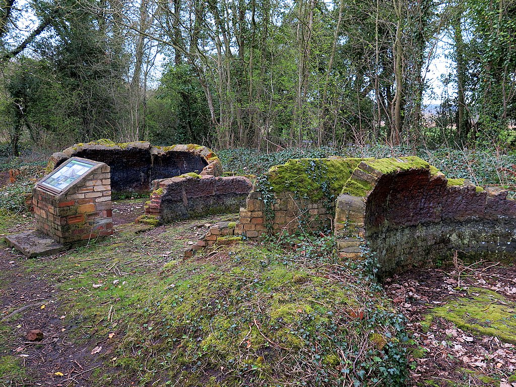 Remains of Throckley Isabella Colliery Coke Oven. Photo A Curtis (2016). | 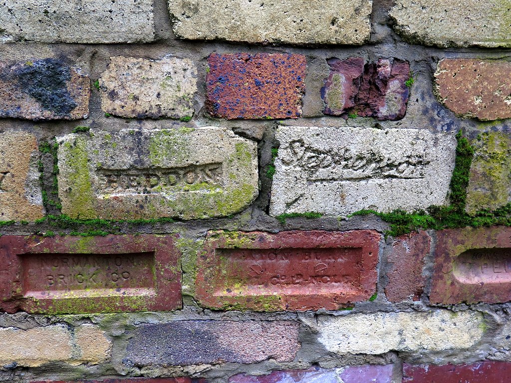 Locally made bricks, Isabella Coke Ovens. Photo A Curtis (2016). |
Polluted land from water filter beds at Tyne Riverside Park. Photo A Curtis (2013).
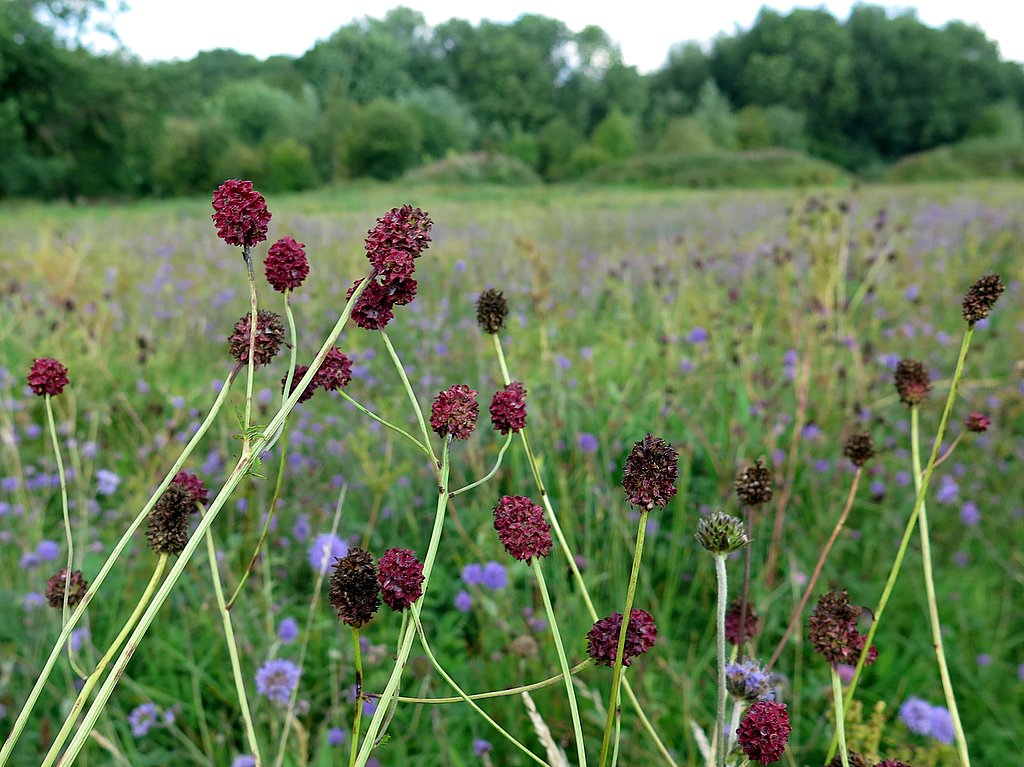 Great burnet (Sanguisorba officinalis), Tyne Riverside Country Park. Photo A Curtis (2015). | 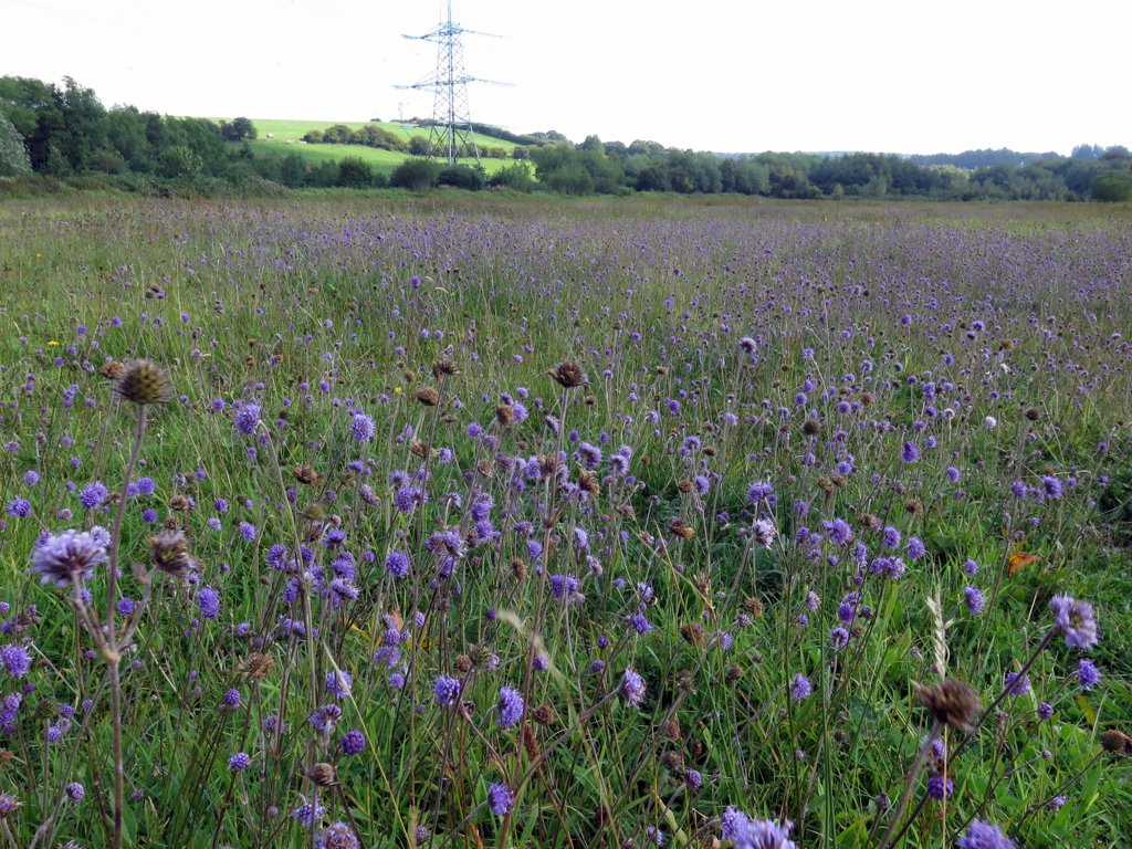 Flower-rich grassland, Tyne Riverside Country Park. Photo A Curtis (2015). |


 RSS Feed
