“He’ll sing Reedwater’s muirlands wild,
Where whirring heath-cocks flee,
Where limpid wells and heather bells
Delight the sportsman’s e’e.”
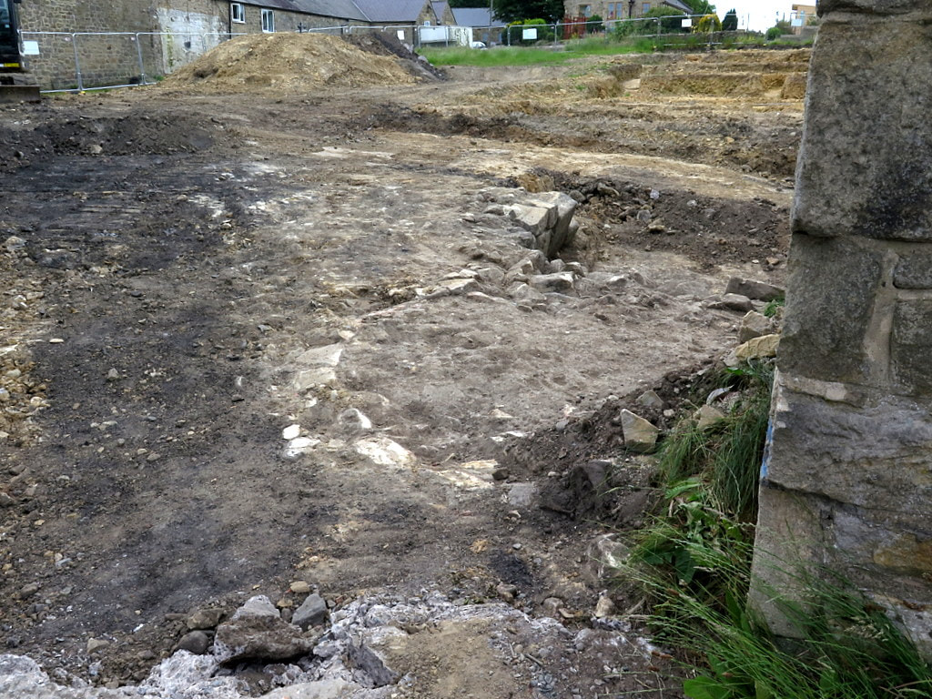
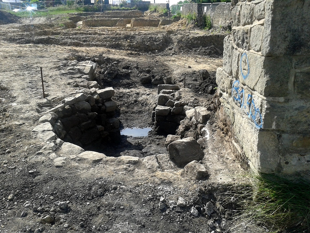
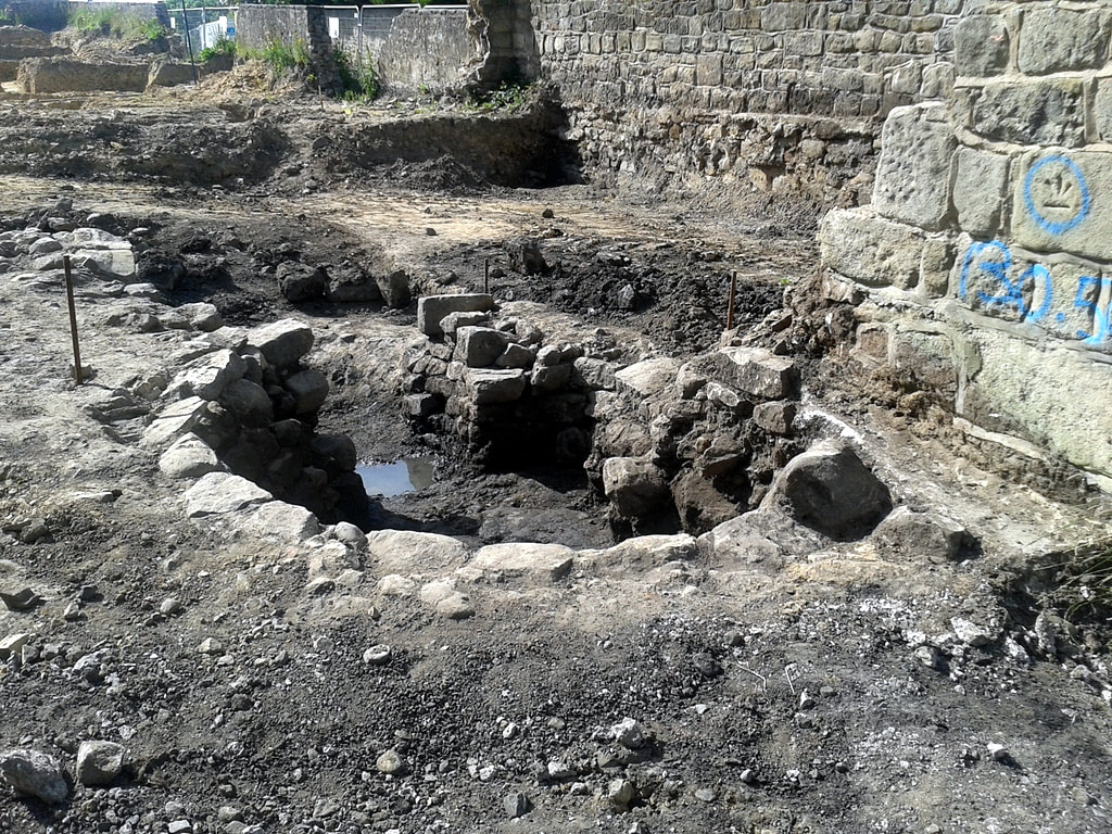
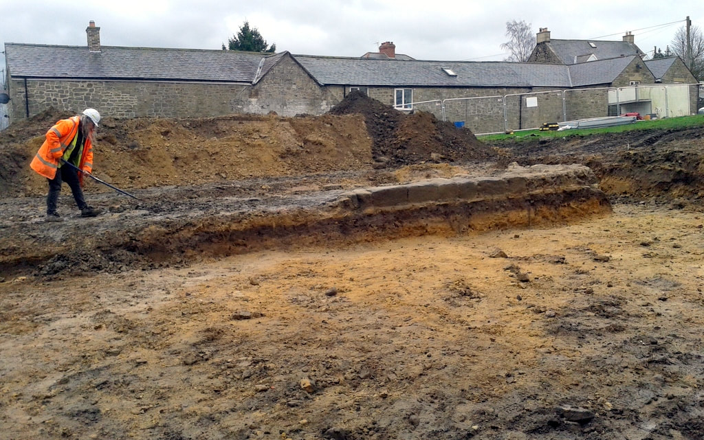
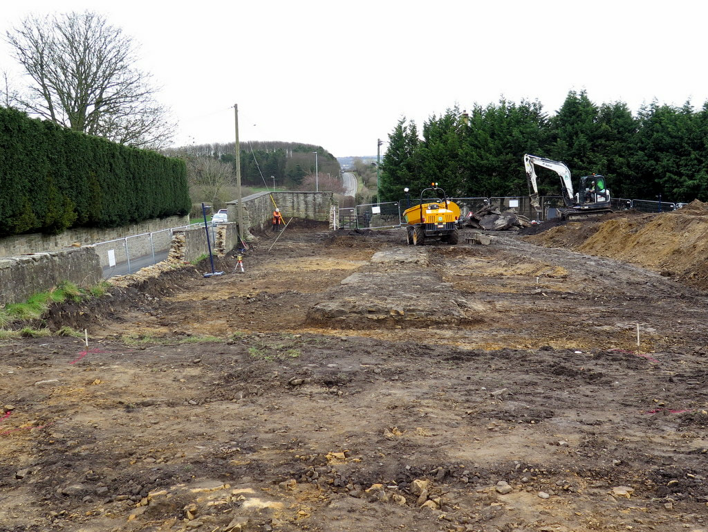
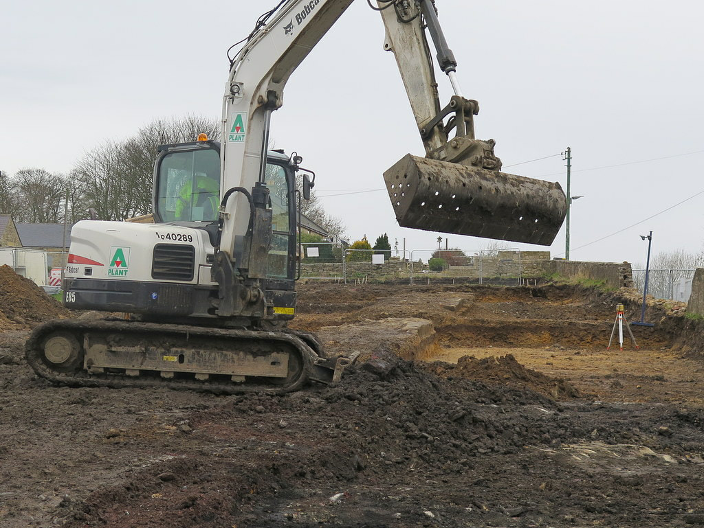
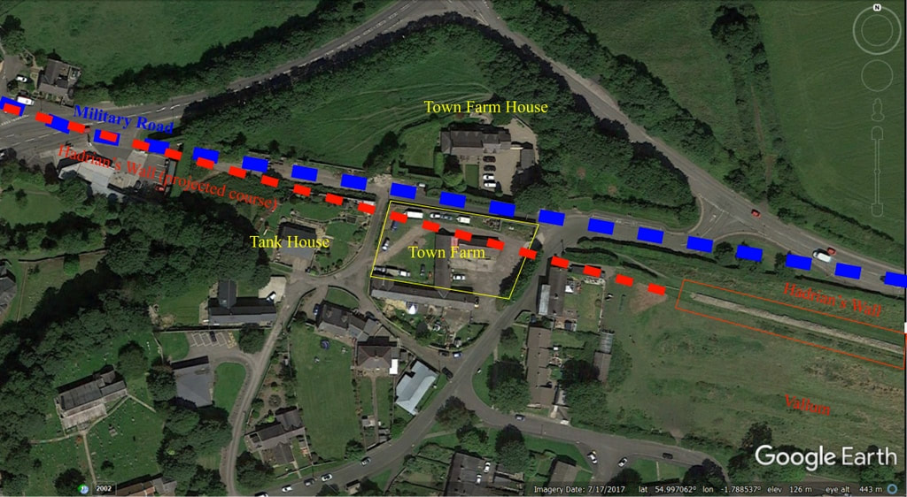
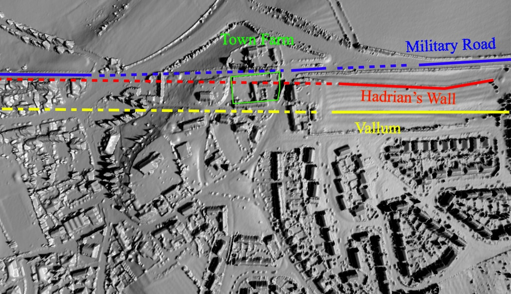
This last couple of years has seen me doing some exploring and more detailed archaeology in Redesdale. It is beautiful, wild Northumberland countryside with a wealth of wildlife, history and tradition. I have had the honour to work alongside local people and other like-minded folk from Tynedale Archaeology Group as a volunteer on the National Lottery funded Revitalising Redesdale project.
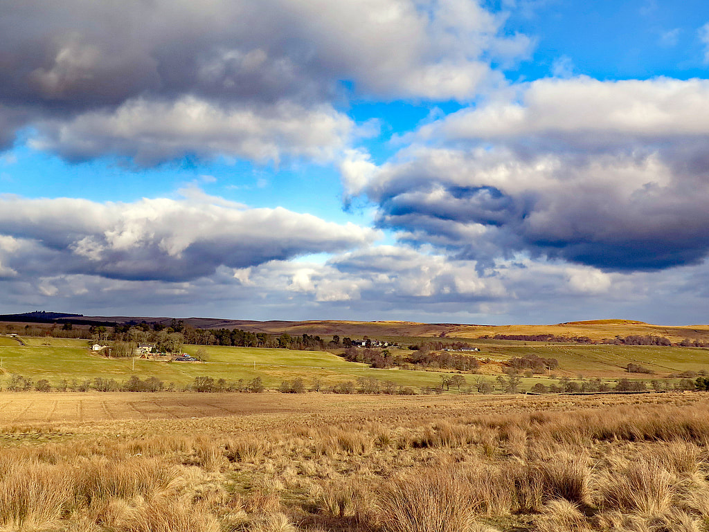
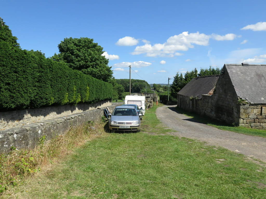
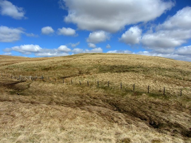
 Another computer-based project is now drawing to a conclusion, that of transcribing the Northumberland Ordnance Survey Name Books of the 1860's first survey, a project led by Professor Diana Whalley. The last parish to be transcribed was Elsdon (including Rochester, Otterburn and a few parts of other parishes, before boundary changes) with about 800 interesting and often informative place-names. Involvement with this project has led me to this post. Given as an authority to the spelling of one of the place-names in the parish was a reference to 'The Lay of the Reedwater Minstrel'. It is a poem by Robert Roxby, and reading it makes you aware that not only was he too facinated by the place-names of the area but also appeared to know them intimately as places, along with a few of the local inhabitants. This quotation is used on page 13 of the Revitalising Redesdale: Landscape Conservation Action Plan (LCAP-Part 1) published in July 2017.
1 Comment
In 2013 I wrote an article on this blog about the wreck of a wooden-hulled steam drifter (fishing boat) on the bed of the River Tyne close to the Ryton shore. Together with an archaeologist who had examined the wreck a few years earlier, we had tried to find out more details. The best information we had was that from a correspondent who told us the vessel had been called Reflect. The vessel had been purchased from Clayton & Davis, ship breakers at Dunston, in the early 1950's. It was to have been a house boat at Ryton for the Sea Scouts but sank before it was converted. In June of this year, completely out of the blue, another correspondent, ex deep-sea fisherman and researcher of fishing boats, Andrew Hall, sent us a full history of the vessel. She had started life in 1902, launched by S. Richards & Co. Ltd, of Lowestoft for Robert S. Gouldby, Kessingland, Suffolk as 'Kessingland'. Completed in 1908 and registered at Lowestoft as LT 210. In 1915, the Kessingland was requisitioned as a Net Laying Vessel (Ad No.1056) based at Dover, being returned to her owners in 1919. In 1920 she was in Scarborough, registered as SH 210, with several different owners up to 1926. In this year she was back in Lowestoft, registered as LT 294 and renamed 'Reflect'. In the Second World War, Reflect was requisitioned as an Examination Vessel, returned to her owners in 1945. Two years later she was sold as scrap to Clayton & Davies of Dunston on Tyne. Here she was purchased by the 1st Tyne Sea Scouts, sailed to Ryton, but sank before refitting as a houseboat. UPDATE - 13/08/2022 Photos and information below provided recently by Arthur Newton. He tells me that the loss of the boat was caused by vandalism when rocks loaded to keep the vessel upright at low tide were moved onto her downslope side. Other boats on the River Tyne and houseboats at Ryton Willows. Following the excitement with the find of a section of Hadrians Wall on the Town Farm development site we now report on a new archaeology find, close to the eastern entrance. We must await the full archaeology report but it is clearly a medieval or post-medieval corn-drying kiln, very simillar to that built into the conserved section of Hadrian's Wall, slightly further east, across Towne Gate. The excavation was undertaken by an archaeologist from Wardell Armstrong, and my photos taken, with careful regard for health & safety, through the wire fence at the east entrance to the building site. The location of the kiln is likley to lie close to, but just to the north of the line of Hadrian's Wall, which hadn't been visible in this area of the site. Behind the circular part of the kiln in the foreground is a deep fire-pit bounded by large masonry on the south side. LINK
Wardell Armstrong - Tulip Mews, Heddon-on-the-Wall, Northumberland. Watching Brief Report (2020). Photos below, taken in June 2017, are of the old Town Farm (Tulip's Yard) before demolition of the old buildings. Photos below of the revealed section of Hadrian's Wall taken by Bill Pointer 8th March 2019. Those who have followed developments of the former site of Town Farm, later Tulip’s Haulage Yard, on the East side of the village will have seen in the past weeks, the old, derelict buildings of the farmstead demolished, a new section of Hadrian’s Wall briefly found and cleared, and the site prepared for the building of five new bungalows. I don’t know much about the early history of Town Farm but have speculated that it was in place in 1750 requiring the slight adjustment of General Wade’s Military Road from using the line (and foundations) of Hadrian’s Wall, west from Great Hill. This led to the preserved section of the Wall otherwise largely destroyed and covered by the road. This road, the first properly constructed road in Northumberland since Roman times, became the Newcastle to Carlisle Turnpike and later the A69, before it was abandoned and the bypass constructed. Beside the old road, below the retaining wall of the Town Farm site, still stands a milestone recording a distance of 7 miles from Newcastle’s West gate. It is probably one of the original milestones of the turnpike road from around 1780. The original farm may have adjoined the old buildings, incorporating both farmhouse and barn as one long building. The two-storey farmhouse still standing on the north side of the old road, previously Four Winds and now Glanville House, was probably a much later addition. At one time, like much of the village, it was owned by the Clayton family. The farmer in 1901 was William Stephenson who lived in the farmhouse with his wife Sarah and six children. William had been born at Rudchester and was nephew of William Stephenson who founded Throckley Brick Works and whose son, Sir William Haswell Stephenson of the Throckley Coal Company was seven times Lord Mayor of Newcastle. In 1901 a gamekeeper, George Charlton, lived in what is now Keepers Cottage. He died in 1931 and has a gravestone in St Andrew’s churchyard erected by Brigadier General Sir Loftus Bates of Heddon Hall ‘in memory of an old friend’. There was a large fire at Town Farm in 1913 which destroyed buildings and livestock. It was fought by local people until the fire brigade arrived from Newburn, alerted by a youth on a bicycle. In 1918 it was bought for £3000, along with many of the other village properties, by Sir James Knott who had a vision of turning Heddon into a model village. However, after the events of the First War and loss of his two sons, his interest in the village came to an end. Town Farm was Lot 1 in his sale of 1924. Town Farm, on the site of the Roman Wall, including 38 acres of old grass land, was sold to Adam and James Hedley for £2800. They were already faming Bays Leap, bought from the Claytons in 1918. James Knott retained the small field containing the currently preserved section of Hadrian’s Wall which he later instructed to be gifted to the Society of Antiquaries of Newcastle upon Tyne. Around 1927, Town Farm was rented from the Hedleys by William Ward Sanderson. He lived in the farmhouse and farmed the fields on the east side of the village, milking cows in a parlour at the farmstead, cutting hay on the site of the Roman Wall and running a local shop selling cigarettes and confectionary. The end of farming came when the land was sold for the building of the Vallum housing estate in the 1950s. The farm buildings became part of Tulip’s Yard, base for a successful haulage company. The wall of the farm next to the old road sported adverts for the local shop and a Heddon on the Wall road-sign on a photo of army cadets resting on the grass below taken around 1950. Part of this photo was used on the album of The Eton Rifles by The Jam in 1979. Demolition of the farm buildings in the past weeks and thorough archaeological excavation of the site has revealed the continuation of Hadrian’s Wall in two runs of large stones marking the lower course of its north face, and rubble core set in clay remaining below the old buildings. Most of the stones had been previously robbed and presumably reused elsewhere, perhaps including the church and even the buildings of Town Farm. Milecastle 12, known by measurement to be in this vicinity, hasn’t yet been found and may have been further west, perhaps under the garden north of Tank House. Similar remains of the Wall are known to exist below the tarmac of General Wade's road something that causes all sorts of problems for utility companies wanting to dig holes. Cadwallader Bates in his History of Heddon published 1886: This mile-castle probably stood to the east of the pond, on the hill-top now covered with ruins of cottages. The Rev. G. Bowlker, vicar of Heddon, has heard that the people who lived in these cottages, in digging a hole in front of them for burying a horse, came on old foundations and what they described as a grave-stone with letters on it. This they promptly broke up. Nothing has been agreed to date but interest has been expressed in the village obtaining at least some of the Hadrian’s Wall stones if they are not wanted elsewhere, perhaps to enhance the area around the Victrix sculpture, letting us put the centurion close to a little part of the fabric of the original Roman Wall. Map rendering provided by houseprices.io free to use under Creative Commons Attribution Licence CC BY 4.0 The sections below are taken from: Wardell Armstrong - Tulip Mews, Heddon-on-the-Wall, Northumberland. Watching Brief Report (2020). The remains of Hadrian’s Wall identified at the site measured c.20 min length and comprised facing stones laid on a foundation of flat sandstone slabs, with a core of irregular sized sandstone fragments set in puddled clay. The Wall survived to a maximum height of 0.45m and was 2.9m at its widest surviving point. The width of the surviving remains is consistent with the Broad Wall sections of the monument, which was originally designed to be 2.9m wide (Symonds & Mason 2009, 38; Table2). It is also consistent with the surviving extant section of the Wall located to the east of the site (NHLE 1010616) which measures between 2.8m and 3m in width. In addition to remains associated with Hadrian’s Wall, the watching brief also identified a well preserved stone‐lined kiln with associated firepit and flue. The kiln was initially considered to be associated with the Roman activity at the site, but the recovery of several sherds of medieval pottery from the feature (the only medieval pottery recovered anywhere during the watching brief) and its location on the northern side of the Wall has highlighted that it relates to a later phase of activity, probably the 14th or 15th century. Apart from the recovery of oak charcoal, primarily from the firepit, no indication of use of the kiln was identified, although it is possible that the feature was used as a corn drying kiln similar to the medieval kiln built into the extant section of the Wall immediately to the east of the site. LINKS
The Wall at Heddon Heddon History - Hadrian's Wall Hadrian's Wall on Tyneside (pdf) Hexham Courant - 19th March 2019 The Knott Memorial Hall was given to the village of Heddon by Sir T. Garbutt Knott, in memory of his parents, Sir James and Lady Margaret Annie Knott. Initially the hall was to be a more elaborate construction, the initial plans of 1935 included higher wings at the north east and south west corners to provide a news and games room at one end and a caretakers flat at the other. In view of the relatively small size of the village, at that time, and the existing news and games room at the Men's Institute, and the availability of other meeting rooms, it was decided to scale down the plans and use the money saved to create an endowment fund to assist with the future upkeep of the hall. This suggestion was agreed to by Sir Garbutt and his legal advisers, and the Hall in its present form was subsequently built in 1936. The site upon which it was built formed part of the Church Banks, this had been for many years previous an unofficial playground for the village children. Mr. L.Walton-Taylor of Heddon and Newcastle was the architect and the Hall was built by Messrs. Lowry of Newcastle. The original official opening ceremony was to have taken place on Saturday the 18th July, 1936 at 3pm by Lt.Col. Sir Alexander Leith, Bart, M.C; D.L, and the dedication service by the Venerable Archdeacon of Northumberland, a tea to be provided for all invited guests. The tragic death of the vicar, The Rev. Harold Nixon, in a motoring accident whilst on holiday in Wales, brought a sudden cancellation of these plans. It was later officially opened by Mrs. G.E. Wilkinson of Wylam and dedicated by the Lord Bishop Billrough, of Newcastle, on the 24th October, 1936. Program for original opening ceremony planned for 18th July 1936.
The With thanks to Caroline and Lawence Scott for drawing my attention to this photo.
The view of the church is from within the Old Vicarage garden, approximately where the modern Vicarage now stands. The direction pointed by the camera is to the south-east and would now be blocked by the Knott Memorial Hall on Towne Gate which was built in 1936. The path up to the church-yard from behind the hall appears to have been paved. It is still there but now a grass sward. The map below shows the side door from the Vicarage garden (probably that shown in the photo) directly opposite the track which descends from the church. Where the track meets the road (Towne Gate) is the present location of the Knott Memorial Hall which was built in 1936. I quote the following story about one of the Upper Coquetdale landowners at the time of the Ordnance Survey in the early 1860s as it fits with a project on transcribing the OS Name Books for Northumberland that I am involved with at the moment. The story is part of a short biography of Mr. Carr, in a regular section called Men of Mark ‘twirt Tyne & Tweed in The Monthly Chronicle of North-Country Lore and Legend Vol. 3 (1887-1891)’, p. 385-387. You can read this, and other works during the life of Ralph Carr for yourself here. RALPH CARR-ELLISON (1805-1884, originally Ralph Carr) was the eldest son of John Carr, Esq. of Dunston Hill and Hedgeley. Mr. Carr, 'landowner, antiquary and naturalist', was one of the few men who ever made the Ordnance Survey officials admit an error in topographical nomenclature. He owned the estate of Makenden at the head of Coquet, which runs up to what is locally known as "the Scotch Edge," where it "marches" with the property of the Duke of Roxburgh. In this district the boundary line between England and Scotland usually follows the water shed (or, as Dandie Dinmont [a character in Guy Mannering by Sir Walter Scott, 1815] expressed it, "the tap o' the hill, where win and water shears") between the valleys of the Teviot and Bowmont on the Scotch side, and those of the Rede, Coquet, and Breamish on the English. But in various places the Scotch, like "Jock o' Dawston Cleugh", have encroached over the crest of the hills. These encroachments are usually marked on old maps as "batable" i.e., debatable ground. One such plot of "batable" land lay between the properties of Mr. Carr and the Duke of Roxburgh, where, according to the contention of the Scotch, the march leaves the "tap o' the hills and bauds down by the Syke" in which the Coquet rises, thus cutting off the Plea Shank, which, like Dandie Dinmont's ground, "lying high and exposed, may feed a hogg [a sheep up to the age of one year; one yet to be sheared], or aiblins twa [perhaps two] in a gude year." The spot is familiar to antiquaries, for the ancient Roman Camp, "Ad Fines", now known as Chew Green, lies just below it, and the Roman Road of Watling Street [Dere Street] here crosses the moors into Scotland. For the sake of peace it had been arranged, at some former time, between the owners and occupiers, that half the Plea Shank should be pastured by each party. But when the Ordnance Survey came to be made, the Scotch revived their claim to the whole, and by some means or other contrived to win over those who were conducting the survey. Little more was heard of the matter till the maps were issued, showing the boundary between England and Scotland drawn along the English side of the debatable ground. Then the English tenant was politely invited by his Scotch neighbour to keep his sheep on his own side of the new boundary. On hearing this, Mr. Carr took steps to obtain all possible evidence from ancient maps and documents in the British Museum and elsewhere ; and instructed his tenant to turn a few sheep on to the disputed land in the meanwhile. Meeting the farmer shortly afterwards, Mr. Carr said, "Well Thompson, I suppose you put half-a-dozen sheep or so on to the Plea Shank?" "Oh, no, sir," was the answer, "I just wysed on [used] fifty score!" The result of Mr. Carr's investigations was to show that the land had been either English or debatable for centuries. This was brought to the notice of the officials in charge of the Ordnance Survey, the already issued maps were recalled and cancelled, and new ones restoring the Plea Shank to its old " batable" character were published. The name 'Plea Shank' doesn't appear to have made it onto the 1st edition map although there is a 'Plea Knowe' on the border further away to the north-east, and another 'Plea Shank' near the line of Dere Street (formerly recorded as Watling Street) but on undisputedly Scottish land in the Borders, much further north.
A life-size sculpture of a Roman Centurion carved from the trunk of a diseased and dying horse chestnut tree by Consett tree sculptor, Tommy Craggs. It is situated opposite the shops, Dingle Dell cafe and the children's nursery at Taberna Close. The carving took place in October and November 2018, with money for the project raised by a local group, 'Heddon Branches'. The name comes the Fourth Cohort of the Twentieth Legion, Valeria Victrix (Valiant and Victorious), who are known to have built part of Hadrian's Wall in the Heddon area about 121AD as shown on a building stone found in 1807 in the vicarage at Heddon but now lost. Twentieth Legion Valeria Victrix Hexham Courant 1st November 2018 The official unveiling of the statue, hosted by Dingle Dell cafe, was held on 22nd November 2018. On a wet afternoon, the ribbon was cut by local resident Emily Taylor who had painted an inspirational picture featuring a Roman soldier in a tree. Hexham Courant 28th November 2018 "I march alone and gaze afar
across these windswept glades for sight of those this wall to breach the hoards who would invade Though far from home I tread this wall with hardships yet untold though days are long and winters cold its beauty in my soul Marching men with boots on earth the sound of thunder brings faint lights from distant fortress guide to shelter winter winds One dawn did break I left this land no lesson more to learn though time had chosen I would leave I vowed I would return And now once more I cast my gaze beyond a distant plain and in this place and from this tree stood proud I shall remain" 'I Am Victrix' by Edmund McGough (displayed in the window of The Dell (Cafe, Bar & Bistro), Taverna Place, Heddon on the Wall. The most interesting place name that appeared on the first edition Ordnance Survey map of Heddon on the Wall is 'Haddocks Hole'. On the 6" map of Northumberland LXXXVII surveyed in 1860 and published in 1865 the name is shown along the Hexham Road. The Name Book entry (kindly supplied by Prof. Diana Whaley of Newcastle University) written at the time of the survey reads: The name is applied to all houses on trace No. 5 in the village of Heddon on the Wall. As part of the name survey task, the correctness of the name was authorised by three local men, recorded as: Mr Armstrong Mr Charlton Mr Hogg Without the draft map we can't be sure which houses the name actually refered to but later oral memories indicate that it was certainly applied to the cottages just west of the Three Tuns Inn between the Hexham Road and Military Road. They were demolished in the mid 1950s, creating the small car park at the side of the pub, open onto both roads. The Co-op building, formerly a smithy, adjoining the south side of the inn, was reduced to a short stub at the same time. The authorities for the place-name can however be identified. A directory of 1855, for instance, tells us that John Armstrong was the farmer at Bay's Leap, whose farmhouse was originally to the north of the Three Tuns. He died on January 21st 1886 aged 65 years. There were several families with the surname, Charlton in the village at the time of the survey. John Charlton, a Joiner & Cartwright, died April 12th 1870 aged 59 years. In 1855, Jane Hogg is shown as victualler at the Three Tuns Inn; her husband, Thomas Hogg was a blacksmith and took over the Three Tuns when she died in 1860. He died on August 5th 1863 aged 60 years. The larger scale map (25" to a mile) moved the name to the west of the Vicarage on the south side of the Hexham Road. Later editions ommited the name altogether. We only have a single photo of Haddocks Hole showing a short row of single storey cottages.
Having taken part in the pilot study of the Hadrian's Wall Stone Sourcing & Dispersal Project I thought I would try to find out a little more about the Roman stone shown above.
Along with two other carved stones (probably not Roman), it sits on the inside window-ledge of the window at the west end of the north aisle, inside the little meetings room divided by glass panels from the bulk of the church. It appears not to have an inscription but its size and moulding bears much resemblance to other stones found along Hadrian's Wall which record the particular centurial unit involved with building or maintaining a specific length of the Wall's fabric. |
AuthorAndy Curtis Archives
May 2024
Categories
All
|