
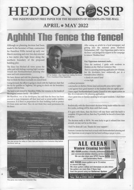
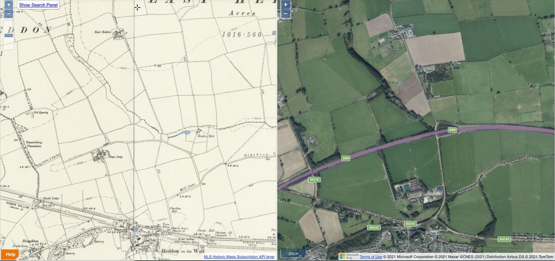
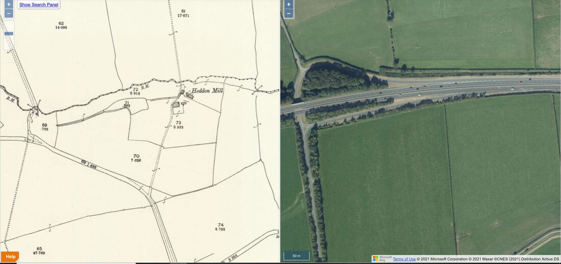
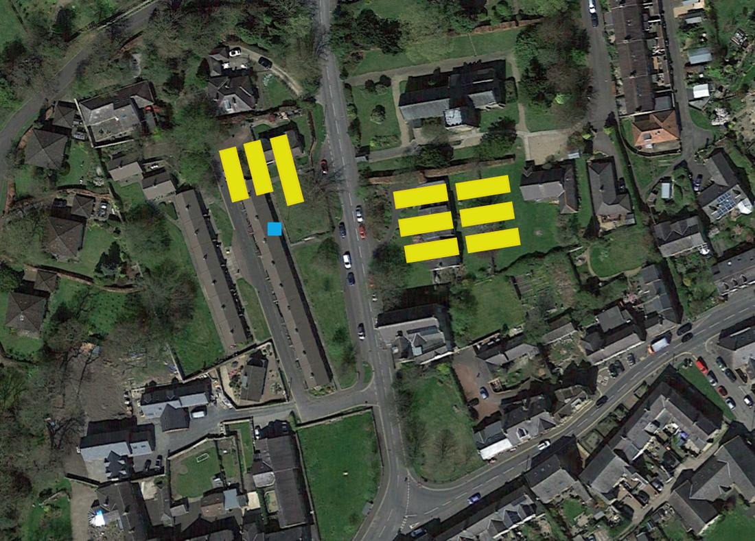
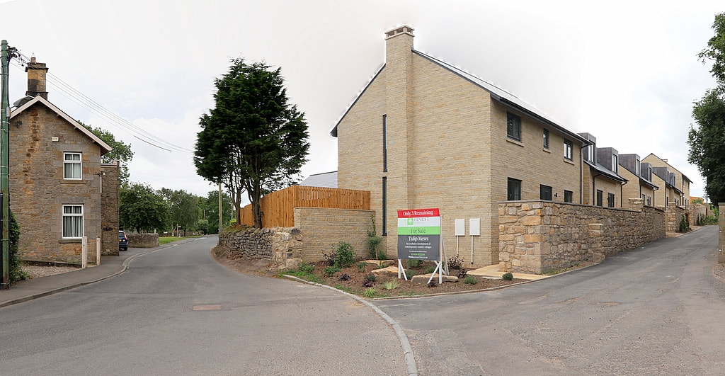
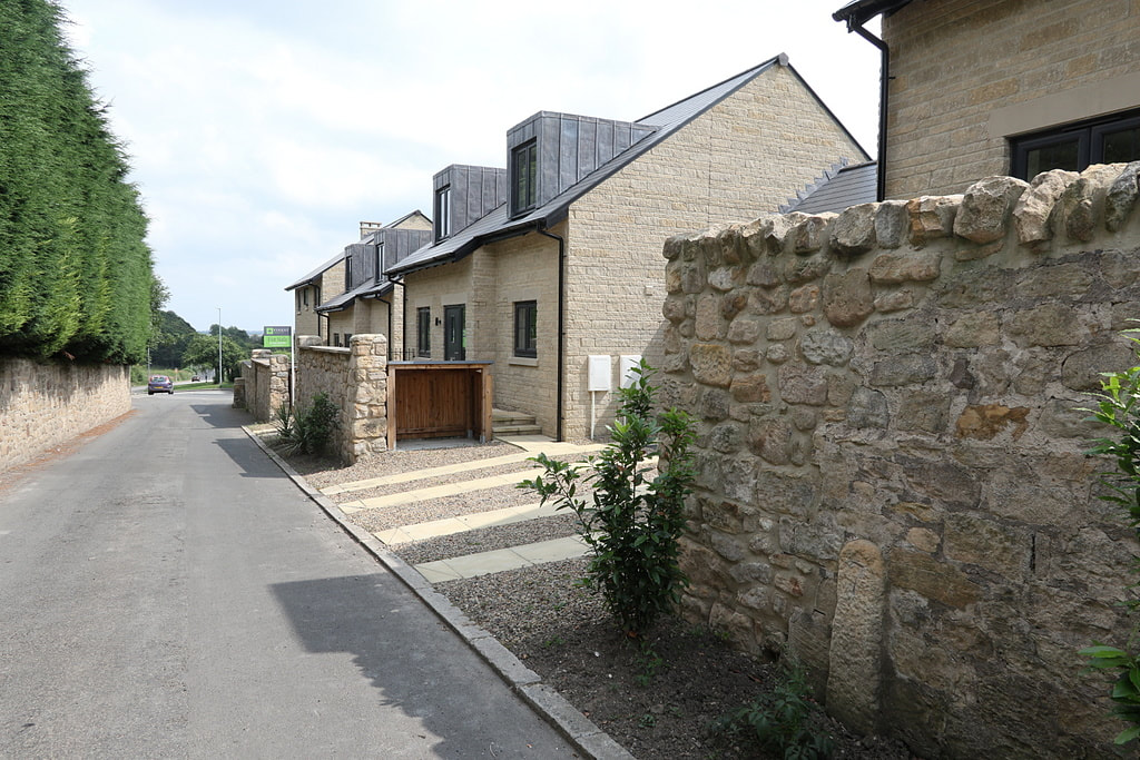
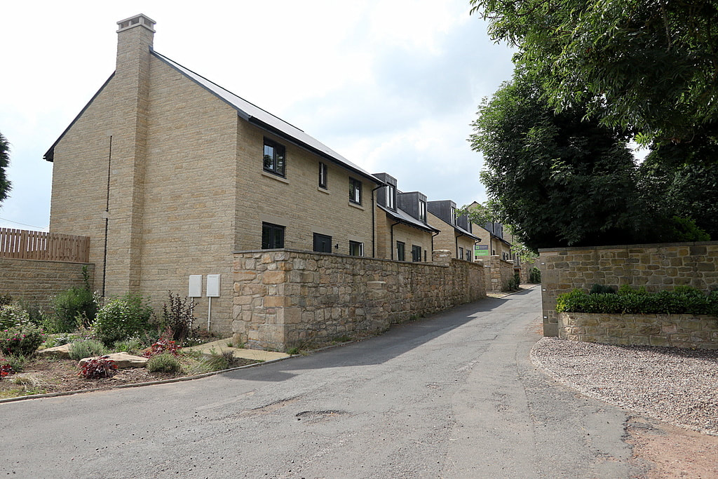
Planning application for new houses on Centurion Way and the fence erected by the developer.
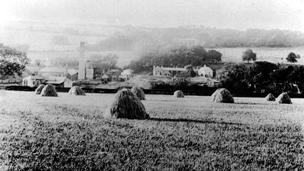
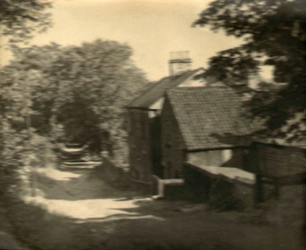
Heddon Gossip, April-May 2022.
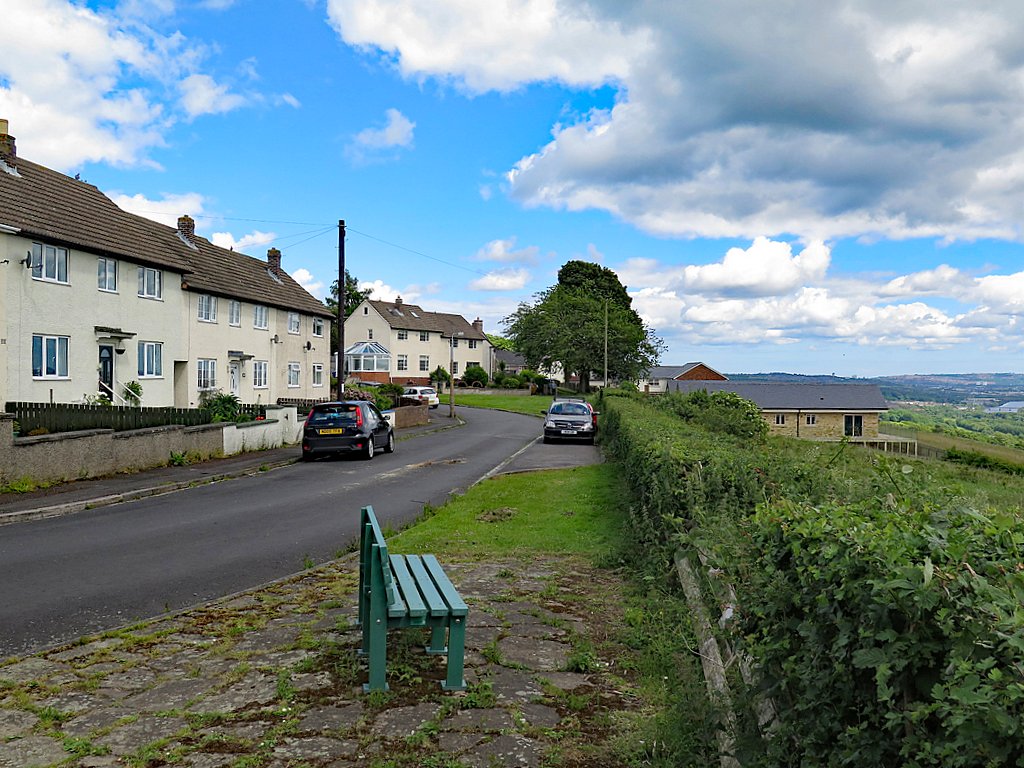
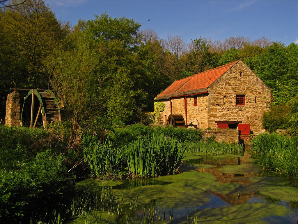
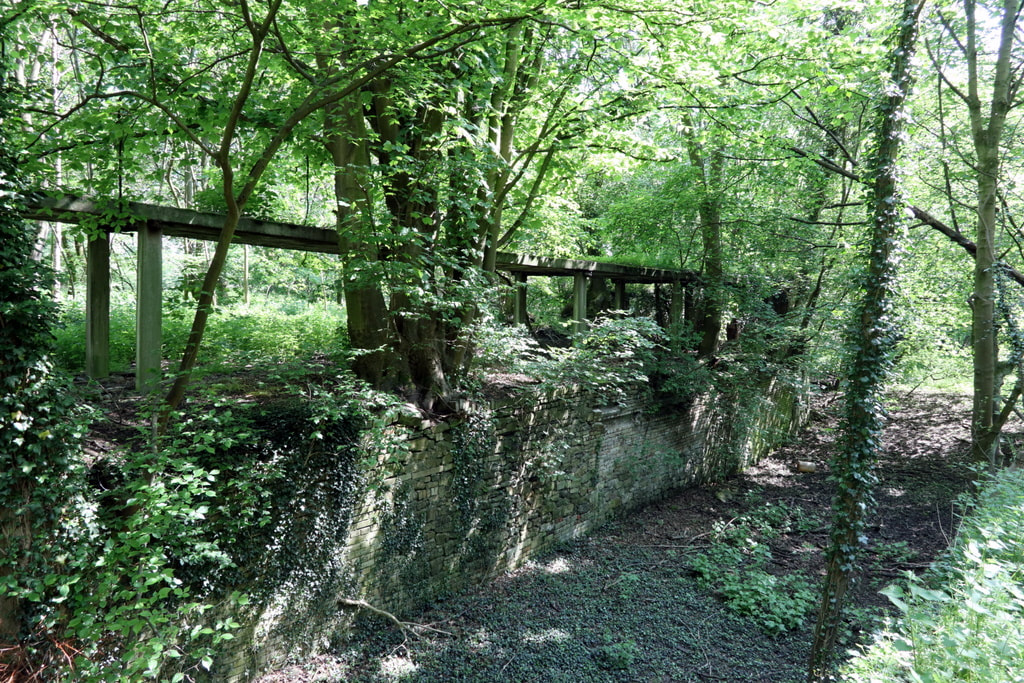
Centurion Way - before the fence. Photo A Curtis (June 2017).
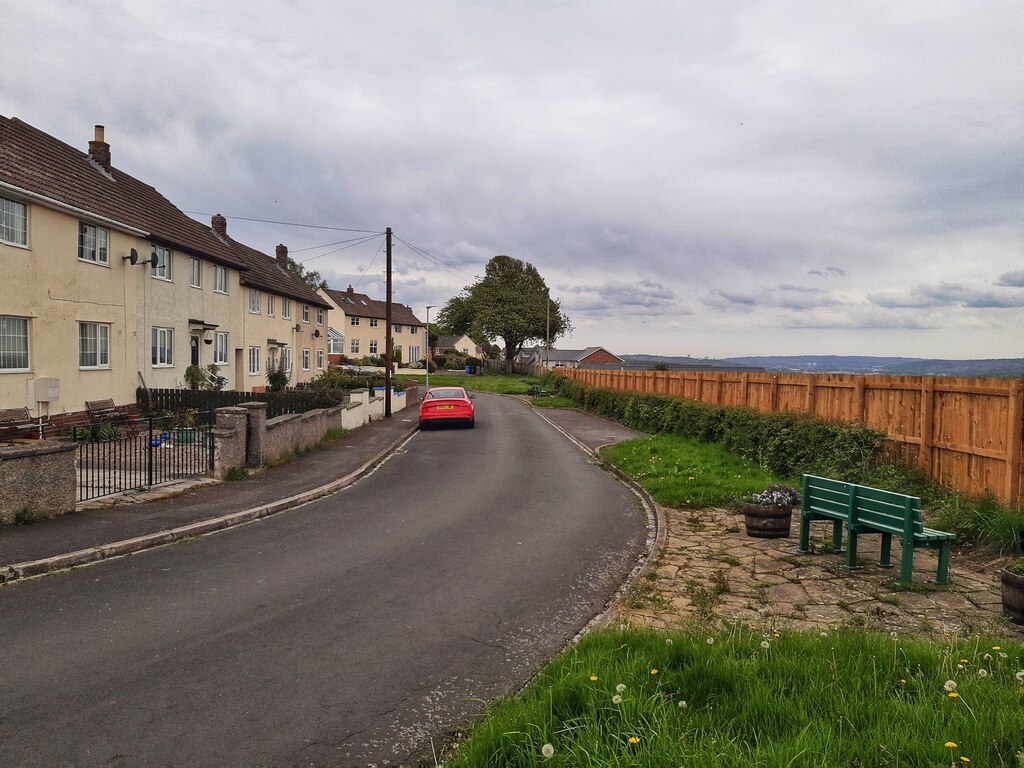
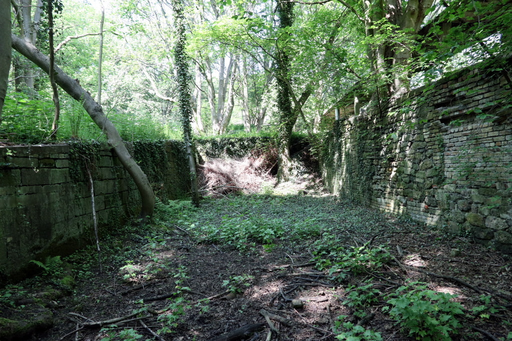
Centurion Way - after the fence. Photo A Curtis (May 2022).
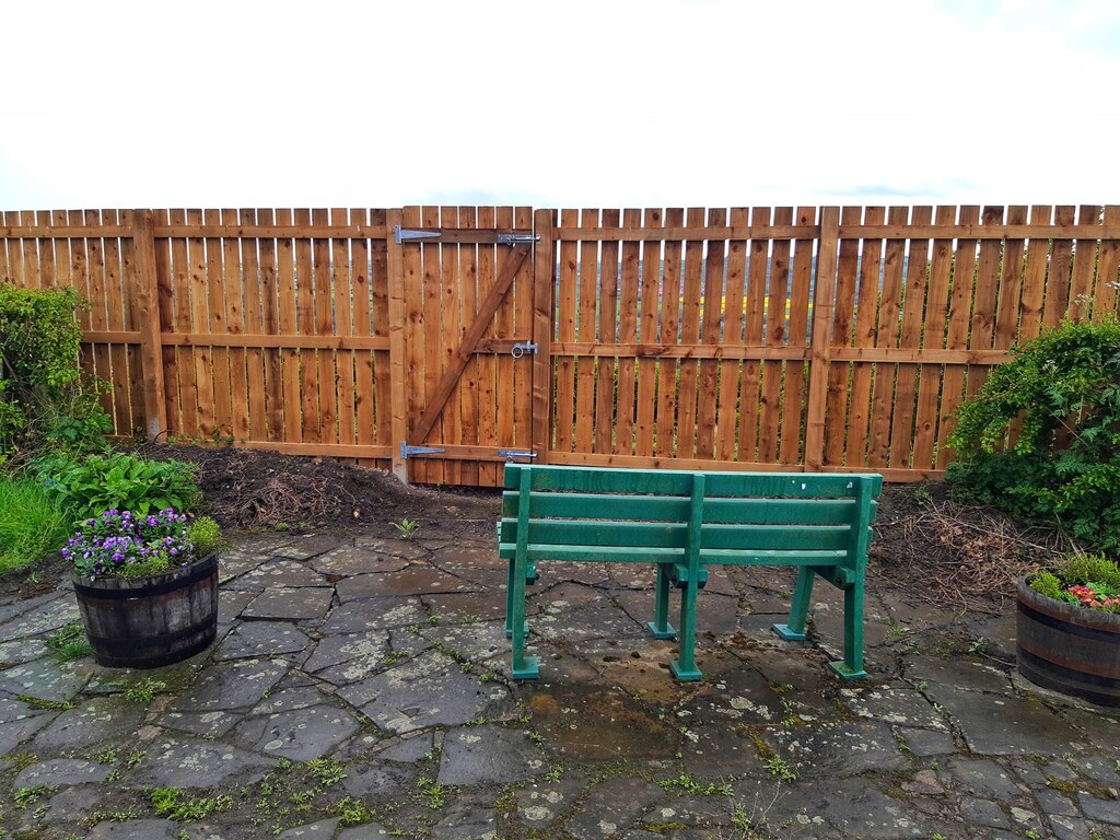
Photo A Curtis (May 2022).


 RSS Feed
