
I put the slide show together after a talk to Heddon Local History Society by John Gillott on Monday 19th May 2014. John's talk inspired me to see the remains of the line and its existing bridges and buildings for myself. Until I find time to do that I decided instead on this virtual tour of the line using existing photographs on Geograph. The photos run from south to north, are by several different contributors, and taken on different dates, although most of them are fairly recent.
If you want a map to follow the route for yourself, there are none better than on Where's The Path. The OpenRailwayMap now contains many of the lcoal lines, disused or otherwise.
Click on the individual photos for further details, and to find other photos in the same 1km grid square. The photos are Creative Commons Licensed with full details on each Geograph page. There is some stunning photography here - a beautiful record of an old railway line which ran through a deserted and most beautiful landscape. Many thanks to the photographers. I hope you have as much enjoyment looking at it as I had in selecting the photos and putting it together.
The Border Counties Railway was incorporated in 1854 and was absorbed by the North British Railway (NBR) on 13th August 1860. It linked the Newcastle and Carlisle Railway, near Hexham, with the Border Union Railway at Riccarton Junction.
The map of the line below is from Disused Stations website which is a great source about the history of the line. It also gives details of the disused stations along it with maps and many old and recent photographs. The relevant pages are linked from the list below.
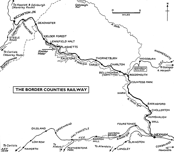
Disused Stations (from south to north)
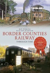
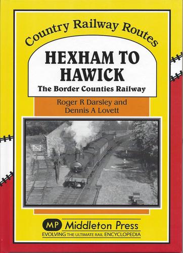
Much has already been written about the Border Counties Railway without adding more here. The two books below contain much interesting material.
 |  |
 RSS Feed
